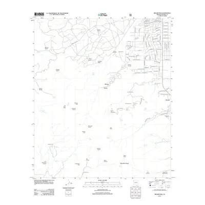
2012 Map of Miller Peak
USGS Topo · Published 2012About this map
Miller Peak towers over the Huachuca Mountains in this 2012 survey, anchoring a landscape where deep drainages like Ramsey Canyon and Garden Canyon provide a sharp contrast to the developing residential street grids of Nicksville to the east. The map captures a mix of rugged high-elevation terrain and low-desert ranching heritage, with several family-named properties such as Barchas Ranch, D'Albini Ranch, and Richards Ranch situated along the base of the mountains.
Find a feature on this map
114 named features on this map. Tap any name to fly to it.
Don’t see what you’re looking for? This feature index may not catch every label — zoom into the map to look around manually.
Map Details
Editions of this 2012 Miller Peak Map
This is the sole edition of this map. No revisions or reprints were ever made.
Other maps of this area

1914 · Hereford
USGS Topo · 1:125,000

1915 · Benson
USGS Topo · 1:125,000

1922 · Sunnyside
USGS Topo · 1:62,500

1932 · Stark
USGS Topo · 1:62,500

1932 · Fairbank
USGS Topo · 1:62,500

1938 · Huachuca
USGS Topo · 1:62,500

1938 · Sunnyside
USGS Topo · 1:62,500

1943 · Benson
USGS Topo · 1:125,000

1948 · Huachuca Peak
USGS Topo · 1:24,000

1948 · Miller Peak
USGS Topo · 1:24,000
Featured Places
- Sierra Vista, AZ
- Ramsey, Sierra Vista
- Bledsoe, Sierra Vista
- Sierra Vista Estates, Sierra Vista
- Cochise County, AZ