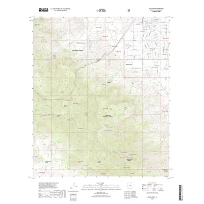
2018 Map of Miller Peak
USGS Topo · Published 2018About this map
Fort Huachuca and the growing residential outskirts of Sierra Vista occupy the northern reaches of this map, where the desert floor meets the steep rise of the Huachuca Mountains. The landscape is defined by the transition from suburban street grids like E Choctaw Dr and E Loma Ln to the protected wilderness of the Coronado National Forest. This high-altitude terrain is marked by a network of seasonal water sources including Old Sawmill Spring and Black Bear Spring, which supported early timber and mining activities in the canyons. The Arizona National Scenic Trail traverses the ridgeline, passing near Miller Peak and Carr Peak, providing a clear record of the modern recreational paths that follow the same natural corridors once used by scouts and early settlers in the vicinity of Ramsey and Bledsoe.
Find a feature on this map
121 named features on this map. Tap any name to fly to it.
Don’t see what you’re looking for? This feature index may not catch every label — zoom into the map to look around manually.
Map Details
Editions of this 2018 Miller Peak Map
This is the sole edition of this map. No revisions or reprints were ever made.
Other maps of this area

1914 · Hereford
USGS Topo · 1:125,000

1915 · Benson
USGS Topo · 1:125,000

1922 · Sunnyside
USGS Topo · 1:62,500

1932 · Stark
USGS Topo · 1:62,500

1932 · Fairbank
USGS Topo · 1:62,500

1938 · Huachuca
USGS Topo · 1:62,500

1938 · Sunnyside
USGS Topo · 1:62,500

1943 · Benson
USGS Topo · 1:125,000

1948 · Huachuca Peak
USGS Topo · 1:24,000

1948 · Miller Peak
USGS Topo · 1:24,000
Featured Places
- Sierra Vista, AZ
- Ramsey, Sierra Vista
- Bledsoe, Sierra Vista
- Sierra Vista Estates, Sierra Vista
- Cochise County, AZ