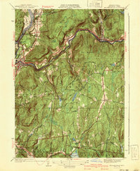
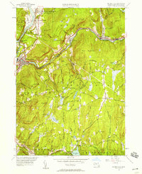
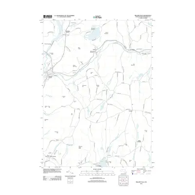
1941 Map of Millers Falls
USGS Topo · Published 1941About this map
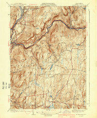
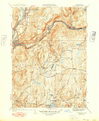
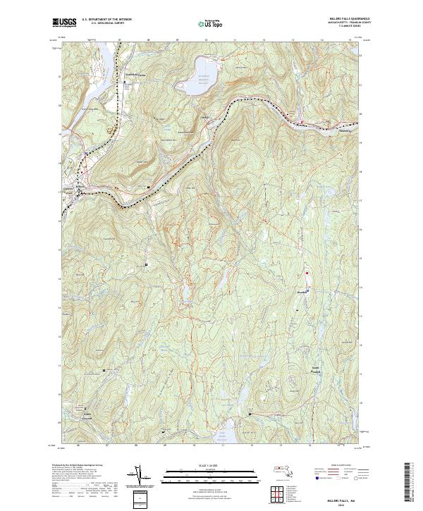
Millers River carves a deep valley through this Franklin County landscape, meeting the Connecticut River at the prominent French King Bridge. The terrain is defined by steep heights like Bear Mountain and Poplar Mtn, which separate the industrial activity of Millers Falls and Erving from the more secluded upland settlements. In the southern portion of the map, Locks Village and North Leverett sit near the shores of Lake Wyola and Fisher Pond, surrounded by numerous family-named burial grounds including Gardner Cem and South Cem. The influence of early 20th-century public works is visible at the CCC Camp near Northfield Farms, while the Boston and Maine RR and Central Vermont Ry trace the riverbanks, marking the vital transportation corridors that supported the region's paper and tool industries.
Find a feature on this map
68 named features on this map. Tap any name to fly to it.
Don’t see what you’re looking for? This feature index may not catch every label — zoom into the map to look around manually.
Map Details
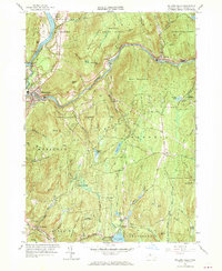
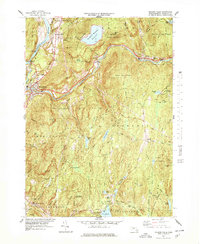
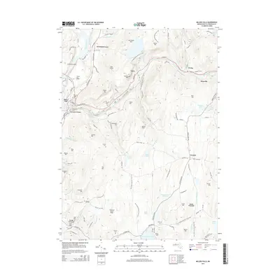
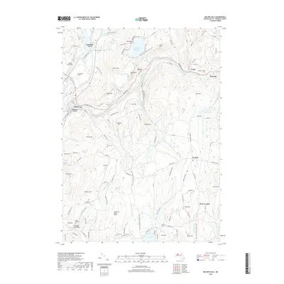
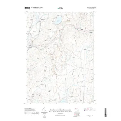
Editions of this 1941 Millers Falls Map
3 editions found
Historical Maps of Montague Through Time
11 maps found
1936 Millers Falls
Franklin County, MA
1941 Millers Falls
Franklin County, MA
1948 Millers Falls
Franklin County, MA
1961 Millers Falls
Franklin County, MA
1975 Millers Falls
Franklin County, MA
1977 Millers Falls
Franklin County, MA
2012 Millers Falls
Franklin County, MA
2015 Millers Falls
Franklin County, MA
2018 Millers Falls
Franklin County, MA
2021 Millers Falls
Franklin County, MA
2024 Millers Falls
Franklin County, MA