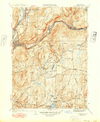
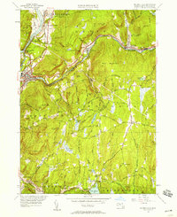
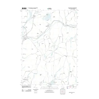
1941 Map of Millers Falls
USGS Topo · Published 1949About this map
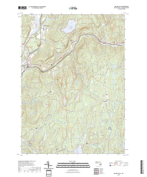
The Millers River corridor serves as the industrial and transit spine of this landscape, where the Boston and Maine railroad and the Mohawk Trail follow the water's path through the high terrain of Bear Mountain. The village of Millers Falls marks a significant junction point near the bend of the Connecticut River, showing a concentrated pattern of development compared to the more dispersed highland settlements. To the south, the topography transitions into a network of small ponds and brooks, anchoring community life at Locks Village and near Lake Wyola. Local genealogy is well-represented through numerous burial grounds like Gardner Cem and North Leverett Cem, alongside civic markers including the Northfield Farms School and Locks Village Church. The map effectively captures the mid-century balance between the river-bottom industries and the upland farming communities.
Find a feature on this map
66 named features on this map. Tap any name to fly to it.
Don’t see what you’re looking for? This feature index may not catch every label — zoom into the map to look around manually.
Map Details
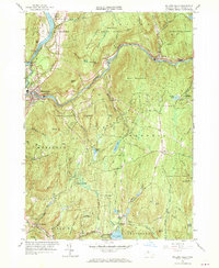
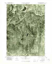
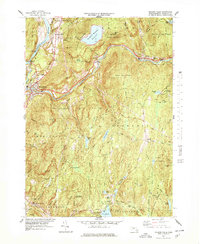
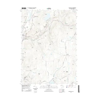
Editions of this 1941 Millers Falls Map
3 editions found
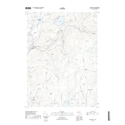
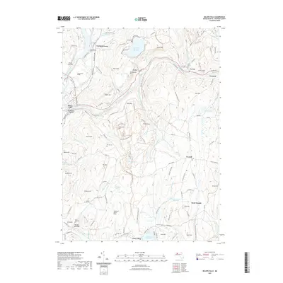
Historical Maps of Montague Through Time
11 maps found
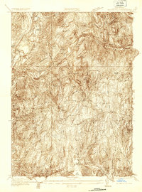
1936 Millers Falls
Franklin County, MA
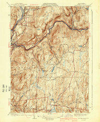
1941 Millers Falls
Franklin County, MA
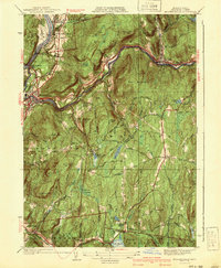
1948 Millers Falls
Franklin County, MA
1961 Millers Falls
Franklin County, MA
1975 Millers Falls
Franklin County, MA
1977 Millers Falls
Franklin County, MA
2012 Millers Falls
Franklin County, MA
2015 Millers Falls
Franklin County, MA
2018 Millers Falls
Franklin County, MA
2021 Millers Falls
Franklin County, MA
2024 Millers Falls
Franklin County, MA