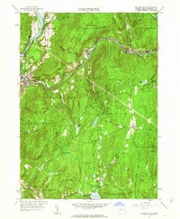
1961 Map of Millers Falls
USGS Topo · Published 1963About this map
The Connecticut River and Millers River define the industrial and geographic character of this Franklin County landscape. At the confluence, the settlement of Millers Falls serves as a transportation hub where the Central Vermont and Boston and Maine railroads meet. The map reveals a transition from these riverside industrial centers to the elevated terrain of the Erving State Forest and Wendell State Forest, which cover vast portions of the eastern and northern territory. Genealogists can locate legacy sites such as Holton Cem, Dry Hill Cem, and the small settlement at Locks Village near Lake Wyola. The presence of Rose Ledge and Rattlesnake Mtn highlights the steep, wooded topography that separated colonial-era farmsteads like Northfield Farms from the mill towns in the valley below.
Find a feature on this map
84 named features on this map. Tap any name to fly to it.
Don’t see what you’re looking for? This feature index may not catch every label — zoom into the map to look around manually.
Map Details
Editions of this 1961 Millers Falls Map
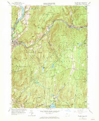
2 editions found
Other maps of this area

1885 · Northampton
USGS Topo · 1:62,500

1886 · Northampton
USGS Topo · 1:62,500

1887 · Warwick
USGS Topo · 1:62,500

1887 · Belchertown
USGS Topo · 1:62,500

1889 · Warwick
USGS Topo · 1:62,500

1890 · Belchertown
USGS Topo · 1:62,500

1890 · Greenfield
USGS Topo · 1:62,500

1891 · Northampton
USGS Topo · 1:62,500

1893 · Northampton
USGS Topo · 1:62,500

1893 · Belchertown
USGS Topo · 1:62,500