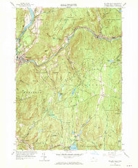
1961 Map of Millers Falls
USGS Topo · Published 1970About this map
The Connecticut River and Millers River converge at the industrial and transport hub of Millers Falls, where the Vermont Central and Boston and Maine railroads define the valley floor. This 1961 revision of earlier 1930s fieldwork documents a landscape of dense state forests and steep upland terrain, where small settlements like Erving, Farley, and Stoneville cling to the riverbanks along the historic Mohawk Trail.
Find a feature on this map
82 named features on this map. Tap any name to fly to it.
Don’t see what you’re looking for? This feature index may not catch every label — zoom into the map to look around manually.
Map Details
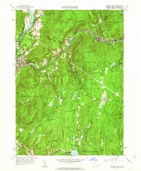
Editions of this 1961 Millers Falls Map
2 editions found
Other maps of this area

1885 · Northampton
USGS Topo · 1:62,500

1886 · Northampton
USGS Topo · 1:62,500

1887 · Warwick
USGS Topo · 1:62,500

1887 · Belchertown
USGS Topo · 1:62,500

1889 · Warwick
USGS Topo · 1:62,500

1890 · Belchertown
USGS Topo · 1:62,500

1890 · Greenfield
USGS Topo · 1:62,500

1891 · Northampton
USGS Topo · 1:62,500

1893 · Northampton
USGS Topo · 1:62,500

1893 · Belchertown
USGS Topo · 1:62,500