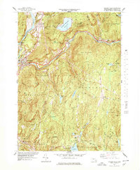
1977 Map of Millers Falls
USGS Topo · Published 1978About this map
The Connecticut River and Millers River define the industrial and transit corridors of this Franklin County landscape. In the late 1970s, the town of Millers Falls serves as a primary hub where the Central Vermont and Boston and Maine rail lines converge near the historic Mohawk Trail. To the north, the massive Northfield Mountain Reservoir sits atop the ridge, a significant piece of hydroelectric infrastructure overlooking Northfield Farms. This survey reveals a region deeply shaped by public lands, including the Erving State Forest and Wendell State Forest. Away from the river valleys, the map documents smaller upland settlements such as Wendell, Locks Village, and North Leverett, along with numerous local burial grounds like Holton Cem and Chestnut Hill Cem, which provide valuable location data for genealogists and local historians tracing family roots in these hillside communities.
Find a feature on this map
74 named features on this map. Tap any name to fly to it.
Don’t see what you’re looking for? This feature index may not catch every label — zoom into the map to look around manually.
Map Details
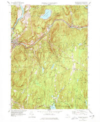
Editions of this 1977 Millers Falls Map
2 editions found
Other maps of this area

1885 · Northampton
USGS Topo · 1:62,500

1886 · Northampton
USGS Topo · 1:62,500

1887 · Warwick
USGS Topo · 1:62,500

1887 · Belchertown
USGS Topo · 1:62,500

1889 · Warwick
USGS Topo · 1:62,500

1890 · Belchertown
USGS Topo · 1:62,500

1890 · Greenfield
USGS Topo · 1:62,500

1891 · Northampton
USGS Topo · 1:62,500

1893 · Northampton
USGS Topo · 1:62,500

1893 · Belchertown
USGS Topo · 1:62,500