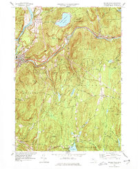
1977 Map of Millers Falls
USGS Topo · Published 1977About this map
The Connecticut River and Millers River define the industrial and geographic character of this Franklin County landscape. At their confluence, the village of Millers Falls serves as a hub where the Central Vermont and B & M RR railroads meet, supporting the region's historical manufacturing and transit economy. The map also records the significant presence of the Northfield Mountain Reservoir and its associated tailrace tunnel and penstock, reflecting late 20th-century utility development alongside older rural settlements.
Find a feature on this map
71 named features on this map. Tap any name to fly to it.
Don’t see what you’re looking for? This feature index may not catch every label — zoom into the map to look around manually.
Map Details
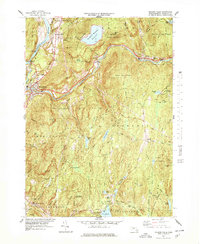
Editions of this 1977 Millers Falls Map
2 editions found
Other maps of this area

1885 · Northampton
USGS Topo · 1:62,500

1886 · Northampton
USGS Topo · 1:62,500

1887 · Warwick
USGS Topo · 1:62,500

1887 · Belchertown
USGS Topo · 1:62,500

1889 · Warwick
USGS Topo · 1:62,500

1890 · Belchertown
USGS Topo · 1:62,500

1890 · Greenfield
USGS Topo · 1:62,500

1891 · Northampton
USGS Topo · 1:62,500

1893 · Northampton
USGS Topo · 1:62,500

1893 · Belchertown
USGS Topo · 1:62,500