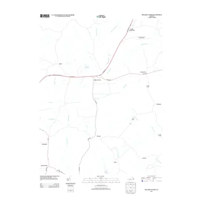
2013 Map of Millers Tavern
USGS Topo · Published 2013About this map
Millers Tavern sits at the junction of modern transport corridors in King and Queen County, where the Richmond Hwy intersects the routes leading toward Howertons and Powcan. The landscape is defined by an intricate network of wetlands and minor waterways, most notably the meandering Dragon Run and its associated Dragon Swamp. This area preserves a traditional Tidewater settlement pattern, with small communities like Bruington, Pauls Crossroads, and Minor situated along the higher ground between expansive swamp systems. To the east, the Tappahannock-Essex County Airport marks a modern utility in this otherwise rural environment. Local history and genealogy interest is anchored by family-named landmarks and water bodies, including Wrights Millpond, Dickeys Hill, and Ice House Pond. The map also details several crossing points such as Jones Bridge and Covington Bridge, which facilitate travel through the dense Mussel Swamp and Sturgeon Swamp systems that bracket the settlements.
Find a feature on this map
34 named features on this map. Tap any name to fly to it.
Don’t see what you’re looking for? This feature index may not catch every label — zoom into the map to look around manually.
Map Details
Editions of this 2013 Millers Tavern Map
This is the sole edition of this map. No revisions or reprints were ever made.
Other maps of this area

1918 · Tappahannock
USGS Topo · 1:62,500

1918 · Aylett
USGS Topo · 1:62,500

1919 · New Kent
USGS Topo · 1:62,500

1919 · Tappahannock
USGS Topo · 1:62,500

1920 · King William
USGS Topo · 1:62,500

1933 · Aylett
USGS Topo · 1:62,500

1943 · Richmond
USGS Topo · 1:250,000

1944 · Mount Landing
USGS Topo · 1:31,680

1944 · Tappahannock
USGS Topo · 1:31,680

1944 · Dunnsville
USGS Topo · 1:31,680