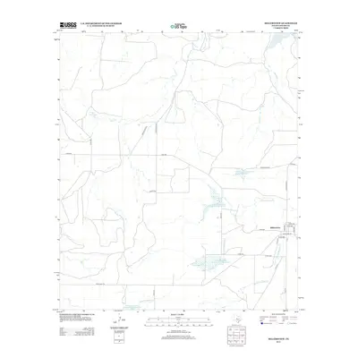
2013 Map of Millersview
USGS Topo · Published 2013About this map
Millersview serves as the primary hub of this landscape in eastern Concho County, where the topography is defined by the drainages of Duck Cr, Horse Cr, and the various branches of Mustang Creek. The settlement's layout is centered at the junction of Ranch Road 765 and FM-2134. A significant feature of the local water management system is the string of reservoirs managed by the Soil Conservation Service, including Soil Conservation Service Site 8 Reservoir and Soil Conservation Service Site 9 Reservoir. These sites, along with Hartgrove Lake, illustrate the region's reliance on engineered water storage to support ranching and agriculture in the West Texas climate. The map captures a detailed view of the rural road network, from established ranch roads to more remote routes like Private Road 4544 and Co Rd-4131.
Find a feature on this map
32 named features on this map. Tap any name to fly to it.
Don’t see what you’re looking for? This feature index may not catch every label — zoom into the map to look around manually.
Map Details
Editions of this 2013 Millersview Map
This is the sole edition of this map. No revisions or reprints were ever made.
Other maps of this area

1892 · Eden
USGS Topo · 1:125,000

1892 · Ballinger
USGS Topo · 1:125,000

1896 · Eden
USGS Topo · 1:125,000

1925 · Ballinger 3-d
USGS Topo · 1:48,000

1925 · Ballinger 4-c
USGS Topo · 1:48,000

1931 · Stacy
USGS Topo · 1:62,500

1932 · Voss
USGS Topo · 1:62,500

1932 · Paint Rock
USGS Topo · 1:62,500

1954 · Brownwood
USGS Topo · 1:250,000

1967 · Millersview SE
USGS Topo · 1:24,000