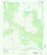
1967 Map of Millersview SE
USGS Topo · Published 1969About this map
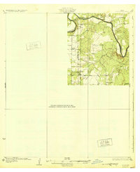
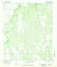
The Brady Mountains dominate the southern portion of this Concho County landscape, surveyed in the mid-1960s. The terrain is defined by a series of engineered water management features, notably the numerous reservoirs and spillways like Spillway Elev 2031 and Spillway Elev 1791, which dot the drainages of Duck Creek and the various branches of Mustang Creek. This network of small dams and spillways reflects the region's focus on water conservation and flood control in an arid environment.
Find a feature on this map
14 named features on this map. Tap any name to fly to it.
Don’t see what you’re looking for? This feature index may not catch every label — zoom into the map to look around manually.
Map Details
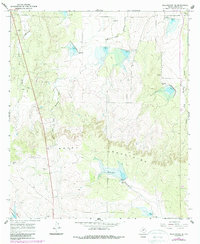
Editions of this 1967 Millersview SE Map
2 editions found
Other maps of this area
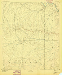
1892 · Eden
USGS Topo · 1:125,000
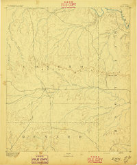
1896 · Eden
USGS Topo · 1:125,000
1931 · Stacy
USGS Topo · 1:62,500

1954 · Brownwood
USGS Topo · 1:250,000
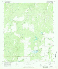
1967 · Millersview
USGS Topo · 1:24,000
1967 · Doole SW
USGS Topo · 1:24,000
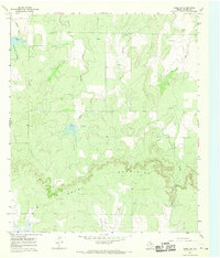
1967 · Mustang Creek
USGS Topo · 1:24,000
1967 · Millersview NW
USGS Topo · 1:24,000
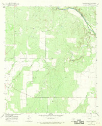
1967 · Millersview SW
USGS Topo · 1:24,000
1970 · Live Oak
USGS Topo · 1:24,000