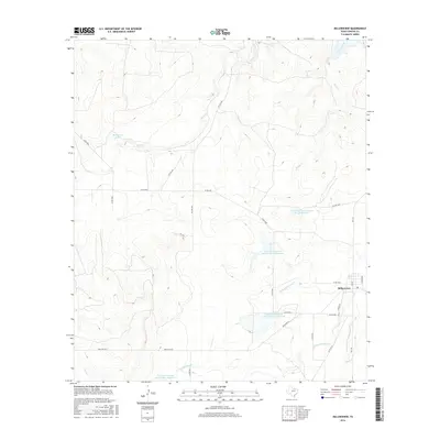
2016 Map of Millersview
USGS Topo · Published 2016About this map
Millersview serves as the primary settlement hub for this portion of Concho County, situated at the junction of several county roads and FM 2134. The surrounding landscape is defined by the drainage systems of the Concho River, Horse Cr, and Duck Cr, which have shaped the local ranching and agricultural patterns. A notable 21st-century feature of this terrain is the extensive water management infrastructure, specifically a series of numbered Soil Conservation Service reservoirs. These sites, including Soil Conservation Service Site 10 Reservoir and Soil Conservation Service Site 9 Reservoir, reflect long-term efforts to manage the hydrology of the N Fork Mustang Cr and W Fork Mustang Cr watersheds. Local landmarks such as Hartgrove Lake and the network of ranch roads like Ranch Rd 765 provide a detailed look at the rural organization and land use in this West Texas region.
Find a feature on this map
28 named features on this map. Tap any name to fly to it.
Don’t see what you’re looking for? This feature index may not catch every label — zoom into the map to look around manually.
Map Details
Editions of this 2016 Millersview Map
This is the sole edition of this map. No revisions or reprints were ever made.
Other maps of this area

1892 · Eden
USGS Topo · 1:125,000

1892 · Ballinger
USGS Topo · 1:125,000

1896 · Eden
USGS Topo · 1:125,000

1925 · Ballinger 3-d
USGS Topo · 1:48,000

1925 · Ballinger 4-c
USGS Topo · 1:48,000

1931 · Stacy
USGS Topo · 1:62,500

1932 · Voss
USGS Topo · 1:62,500

1932 · Paint Rock
USGS Topo · 1:62,500

1954 · Brownwood
USGS Topo · 1:250,000

1967 · Millersview SE
USGS Topo · 1:24,000