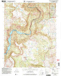
2004 Map of Millerton Lake East
USGS Topo · Published 2007About this map
The San Joaquin River carves a deep path through the boundary of Fresno and Madera Counties, anchoring a landscape where water management and industrial history meet. Below the ridges of Kennedy Table and Table Mountain, the Millerton Lake reservoir dominates the western edge, managed as the Millerton Lake State Recreation Area. This mid-2000s survey captures the region's diverse infrastructure, from the Kerckhoff Powerhouse along the river to the engineering of the Wellborn Canal in the Auberry Valley.
Find a feature on this map
40 named features on this map. Tap any name to fly to it.
Don’t see what you’re looking for? This feature index may not catch every label — zoom into the map to look around manually.
Map Details
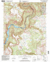
Editions of this 2004 Millerton Lake East Map
2 editions found
Other maps of this area

1904 · Kaiser
USGS Topo · 1:125,000

1912 · Mariposa
USGS Topo · 1:125,000

1916 · Sulphur Springs
USGS Topo · 1:24,000

1919 · Sulphur Springs
USGS Topo · 1:31,680

1922 · Trimmer
USGS Topo · 1:96,000

1922 · Friant
USGS Topo · 1:31,680

1923 · Academy
USGS Topo · 1:31,680

1924 · Dinuba
USGS Topo · 1:125,000

1942 · Watts Valley
USGS Topo · 1:62,500

1942 · Millerton Lake
USGS Topo · 1:62,500