2024 Map of Millerville
USGS Topo · Published 2024About this map
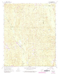
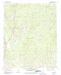
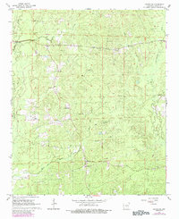
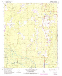
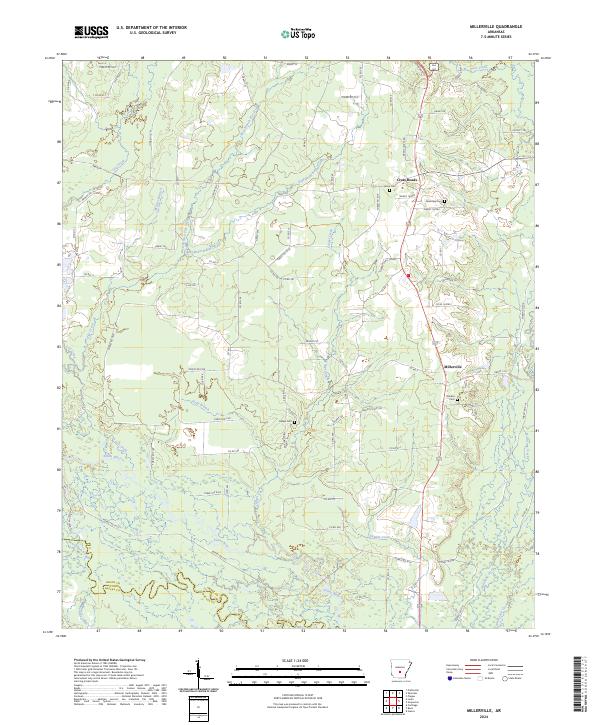
The Saline River winds across this south-central Arkansas landscape, defining the transition between Grant and Dallas counties at the southern edge of the survey. The region is characterized by a dense network of watercourses, including the West Branch Flat Creek and Hurricane Creek, which drain the timbered lands surrounding the small settlements of Millerville and Cross Roads. This modern survey reveals a community pattern centered on rural roads and family heritage, with several burial grounds such as Shiloh Cem and Rhodes Cem serving as significant landmarks for local history and genealogy research.
Find a feature on this map
93 named features on this map. Tap any name to fly to it.
Don’t see what you’re looking for? This feature index may not catch every label — zoom into the map to look around manually.
Map Details
Editions of this 2024 Millerville Map
This is the sole edition of this map. No revisions or reprints were ever made.
Historical Maps of Millerville Through Time
10 maps found