
1963 Map of Prattsville
USGS Topo · Published 1964About this map
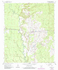
The Saline River winds in deep loops through the center of this map, creating a complex drainage network where Francois Creek and Huskey Creek converge from the west. The mid-1960s landscape shows a community defined by its watercourses and small rural nodes, with Prattsville serving as the central hub. To the north, the small settlement of Buie sits near Sweet Home Ch, while the southern portion of the map identifies the Philadelphia church and community. This era reflects a transition where the old rural infrastructure, represented by the Cooper Sch and numerous Gravel Pit sites, remains visible alongside the modern path of Highway 270. The southwestern corner is clipped by the Chicago Rock Island and Pacific railroad, highlighting the area's historical connection to regional transport lines.
Find a feature on this map
25 named features on this map. Tap any name to fly to it.
Don’t see what you’re looking for? This feature index may not catch every label — zoom into the map to look around manually.
Map Details
Editions of this 1963 Prattsville Map
2 editions found
Other maps of this area

1955 · Little Rock
USGS Topo · 1:250,000

1956 · Little Rock
USGS Topo · 1:250,000

1960 · Little Rock
USGS Topo · 1:250,000

1963 · Traskwood
USGS Topo · 1:24,000
1963 · Tull
USGS Topo · 1:24,000

1964 · Poyen
USGS Topo · 1:24,000

1964 · Little Rock
USGS Topo · 1:250,000

1964 · Sheridan
USGS Topo · 1:24,000

1964 · Belfast
USGS Topo · 1:24,000
1964 · Millerville
USGS Topo · 1:24,000