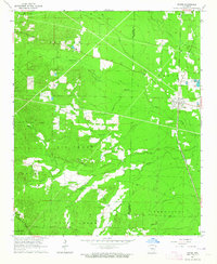
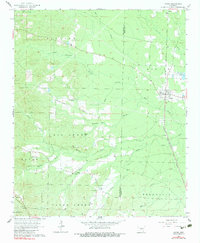
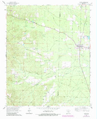
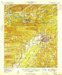
1964 Map of Poyen
USGS Topo · Published 1964About this map
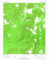
Poyen serves as the central hub of this mid-1960s survey, situated where the Chicago Rock Island and Pacific railroad intersects the local road network. The landscape is defined by the complex hydrology of Big Creek, Francois Creek, and their numerous tributaries like Thunder Branch and Buck Branch, which drain the timbered terrain along the border of Hot Spring and Grant Counties. This era shows a community rooted in local institutions, evidenced by the presence of the Big Creek Ch and Clear Creek Ch, alongside several burial grounds such as Lutheran Cem and Cunningham Cem. Industrial activity is visible through scattered Sandpit and Gravel Pit operations, while the Malvern Country Club indicates the development of recreational spaces near the western edge of the quadrangle.
Find a feature on this map
33 named features on this map. Tap any name to fly to it.
Don’t see what you’re looking for? This feature index may not catch every label — zoom into the map to look around manually.
Map Details
Editions of this 1964 Poyen Map
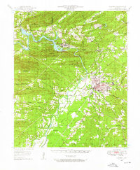
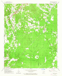
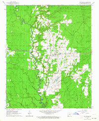
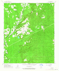
Other maps of this area
1948 · Malvern
USGS Topo · 1:62,500
1949 · Malvern
USGS Topo · 1:62,500

1955 · Little Rock
USGS Topo · 1:250,000

1956 · Little Rock
USGS Topo · 1:250,000

1960 · Little Rock
USGS Topo · 1:250,000
1963 · Traskwood
USGS Topo · 1:24,000
1963 · Prattsville
USGS Topo · 1:24,000
1963 · Tull
USGS Topo · 1:24,000

1964 · Little Rock
USGS Topo · 1:250,000
1965 · Round Hill
USGS Topo · 1:24,000