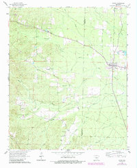
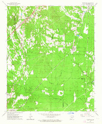
1964 Map of Poyen
USGS Topo · Published 1984About this map
Poyen serves as the primary hub of this rural Grant County landscape, situated near the intersection of several significant waterways including Big Creek and Francois Creek. The mid-century settlement pattern is defined by small communities such as Rhinehart and Lenham, alongside rural religious and memorial sites like Big Creek Ch and Lutheran Cem. The terrain is deeply carved by a network of drainage branches, notably Thunder Branch and Buck Branch, which influenced the placement of early road networks like Sulphur Springs Road. Local industry and recreation are represented by several Sandpits and Gravel Pits, as well as the Malvern Country Club in the western section. These details offer a clear view of the area's transition between agricultural life and local resource extraction during the 1960s, with updates reflecting later development through the early 1980s.
Find a feature on this map
27 named features on this map. Tap any name to fly to it.
Don’t see what you’re looking for? This feature index may not catch every label — zoom into the map to look around manually.
Map Details
Editions of this 1964 Poyen Map
Other maps of this area
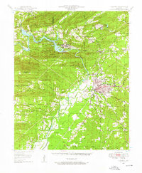
1948 · Malvern
USGS Topo · 1:62,500
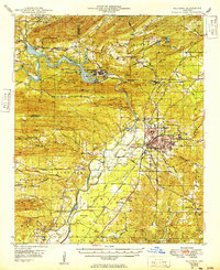
1949 · Malvern
USGS Topo · 1:62,500

1955 · Little Rock
USGS Topo · 1:250,000

1956 · Little Rock
USGS Topo · 1:250,000

1960 · Little Rock
USGS Topo · 1:250,000
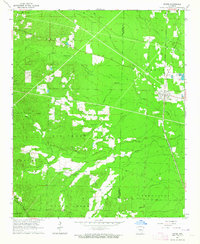
1963 · Traskwood
USGS Topo · 1:24,000
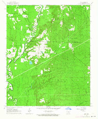
1963 · Prattsville
USGS Topo · 1:24,000
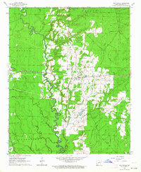
1963 · Tull
USGS Topo · 1:24,000
1964 · Poyen
USGS Topo · 1:24,000

1964 · Little Rock
USGS Topo · 1:250,000