Loading...
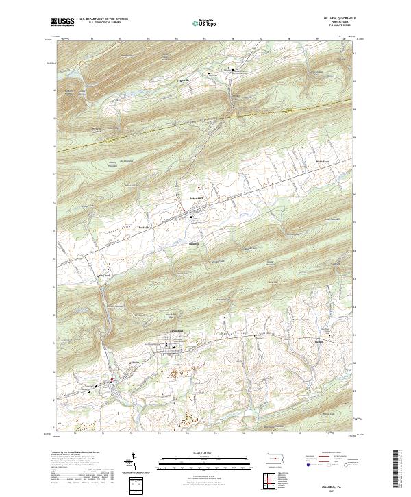
Loading map...2023 Map of Millheim
USGS Topo · Published 2023About this map
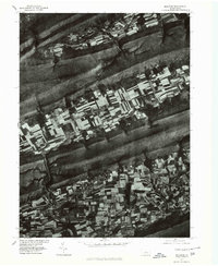
Sugar Valley and Penns Valley define the rhythmic topography of this region, where linear mountain ridges and agricultural basins dictate the placement of historic settlements. Along the floor of Brush Valley, the village of Rebersburg remains a central point, anchored by the Saint Peters Lutheran and Reformed Cem. To the south, the neighboring towns of Milheim and Aaronsburg sit at the mouth of Milheim Narrows, a passage through the high ground of Shriner Mountain.
Find a feature on this map
141 named features on this map. Tap any name to fly to it.
Don’t see what you’re looking for? This feature index may not catch every label — zoom into the map to look around manually.
Map Details
Date Portrayed2023
Date Published2023
PublisherU.S. Geological Survey
Map TypeTopographic
Scale1:24000
Physical Dimensions24 x 29 inches
Editions of this 2023 Millheim Map
This is the sole edition of this map. No revisions or reprints were ever made.
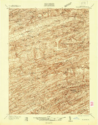
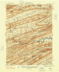
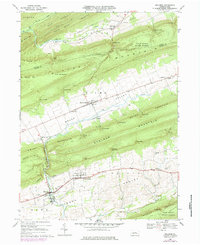
Historical Maps of Aaronsburg Through Time
6 maps found

Featured Locations
Source Details
SourceU.S. Geological Survey
CopyrightPublic Domain