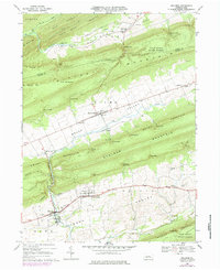
1968 Map of Millheim
USGS Topo · Published 1984About this map
Millheim and Aaronsburg anchor the southern valleys of this Penns Valley landscape during the late 1960s, showing a traditional agricultural and small-town pattern that follows the limestone floor between ridges. The linear orientation of Aaronsburg is particularly striking, reflecting its historic 18th-century plan along the main valley road. Further north, Rebersburg serves as the hub of Sugar Valley, separated from the south by the formidable heights of Nittany Mountain and Brush Mountain.
Find a feature on this map
64 named features on this map. Tap any name to fly to it.
Don’t see what you’re looking for? This feature index may not catch every label — zoom into the map to look around manually.
Map Details
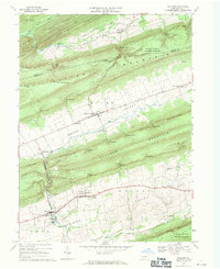
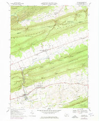
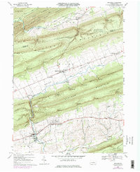
Editions of this 1968 Millheim Map
4 editions found
Other maps of this area

1921 · Howard
USGS Topo · 1:48,000

1921 · Lock Haven
USGS Topo · 1:62,500

1923 · Howard
USGS Topo · 1:62,500

1923 · Lock Haven
USGS Topo · 1:62,500

1924 · Centre Hall
USGS Topo · 1:62,500

1929 · Centre Hall
USGS Topo · 1:62,500

1937 · Millheim
USGS Topo · 1:48,000

1941 · Millheim
USGS Topo · 1:62,500

1943 · Lewistown
USGS Topo · 1:125,000

1944 · Lock Haven
USGS Topo · 1:62,500