
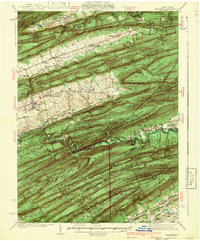
1941 Map of Millheim
USGS Topo · Published 1941About this map
Millheim and Aaronsburg serve as the primary hubs in this part of central Pennsylvania, where the landscape is defined by the rhythmic parallel ridges of the Appalachian Mountains. Surveyed in the late 1930s, the map reveals a rural economy shaped by narrow valleys and gaps such as Wolf Gap and Winkelblech Gap. While the mountain slopes are largely protected within the Bald Eagle State Forest and Snyder-Middleswarth State Forest Park, the valley floors are dotted with small agrarian settlements like Rebersburg, Woodward, and Coburn. Local institutions including Wolfs Chapel and the Pine Creek Sch provided the social fabric for these communities. The presence of the BM Sawmill near Ingleby and the commemorative Joyce Kilmer Monument highlight the region's historical reliance on timber and its evolving relationship with forest conservation during this era.
Find a feature on this map
150 named features on this map. Tap any name to fly to it.
Don’t see what you’re looking for? This feature index may not catch every label — zoom into the map to look around manually.
Map Details
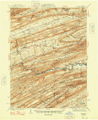
Editions of this 1941 Millheim Map
3 editions found
Other maps of this area

1907 · Millerstown
USGS Topo · 1:62,500

1921 · Howard
USGS Topo · 1:48,000

1921 · Williamsport
USGS Topo · 1:48,000

1921 · Lock Haven
USGS Topo · 1:62,500

1923 · Howard
USGS Topo · 1:62,500

1923 · Lock Haven
USGS Topo · 1:62,500

1923 · Williamsport
USGS Topo · 1:62,500

1924 · Centre Hall
USGS Topo · 1:62,500

1924 · Lewistown
USGS Topo · 1:62,500

1925 · Mifflintown
USGS Topo · 1:48,000