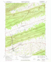
1968 Map of Millheim
USGS Topo · Published 1975About this map
Millheim and the linear settlements of Aaronsburg and Rebersburg anchor this survey of the Pennsylvania ridge-and-valley province. The landscape is defined by the dramatic corrugated topography of Nittany Mountain and Brush Mountain, where numerous gaps like Smullton Gap and Gramley Gap provided vital passage between the agricultural corridors of Brush Valley and Miles Valley. The presence of the Lamar National Fish Hatchery in the north and Woodward Cave in the south highlights the region's unique hydrological character, fed by Fishing Creek and Penns Creek.
Find a feature on this map
67 named features on this map. Tap any name to fly to it.
Don’t see what you’re looking for? This feature index may not catch every label — zoom into the map to look around manually.
Map Details
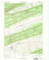
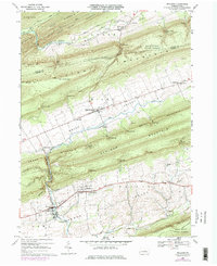
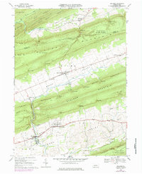
Editions of this 1968 Millheim Map
4 editions found
Other maps of this area

1921 · Howard
USGS Topo · 1:48,000

1921 · Lock Haven
USGS Topo · 1:62,500

1923 · Howard
USGS Topo · 1:62,500

1923 · Lock Haven
USGS Topo · 1:62,500

1924 · Centre Hall
USGS Topo · 1:62,500

1929 · Centre Hall
USGS Topo · 1:62,500

1937 · Millheim
USGS Topo · 1:48,000

1941 · Millheim
USGS Topo · 1:62,500

1943 · Lewistown
USGS Topo · 1:125,000

1944 · Lock Haven
USGS Topo · 1:62,500