1975 Map of Millinocket SW
USGS Topo · Published 1979About this map
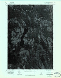
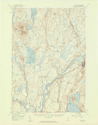
West Branch Penobscot River flows across the northern edge of this terrain, anchoring a landscape dominated by water and timberland in southern Penobscot County. This 1975 orthophotograph provides a clear visual record of the shoreline and surrounding forest canopy of Nollesemic Lake, which occupies the central portion of the quadrangle. The imagery captures the natural drainage patterns and unpaved access routes through the woods, stretching toward Mattamiscontis Lake at the southern boundary and reaching the edge of South Branch Lake to the southeast. These orthophotomaps were specialized products of the era, using rectified aerial photography rather than traditional topographic lines to show the true ground cover and texture of the Maine wilderness as it appeared in the mid-1970s.
Find a feature on this map
4 named features on this map. Tap any name to fly to it.
Don’t see what you’re looking for? This feature index may not catch every label — zoom into the map to look around manually.
Map Details
Editions of this 1975 Millinocket SW Map
2 editions found

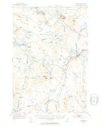
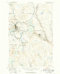
Other maps of this area
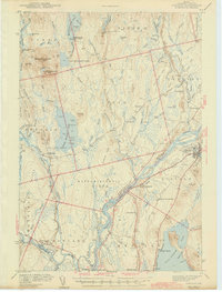
1942 · Lincoln
USGS Topo · 1:62,500

1947 · Schoodic
USGS Topo · 1:62,500

1949 · Schoodic
USGS Topo · 1:62,500
1951 · Norcross
USGS Topo · 1:62,500
1951 · Millinocket
USGS Topo · 1:62,500

1954 · Millinocket
USGS Topo · 1:250,000
1957 · Lincoln
USGS Topo · 1:62,500

1958 · Millinocket
USGS Topo · 1:250,000

1960 · Millinocket
USGS Topo · 1:250,000

1975 · Lincoln NW
USGS Topo · 1:24,000