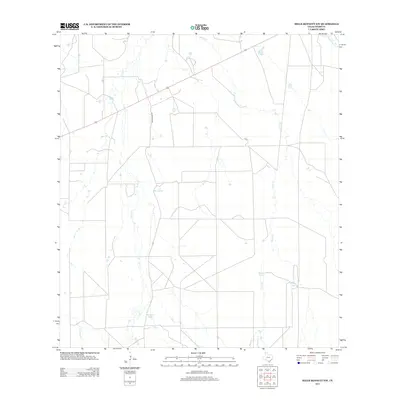
2013 Map of Mills Bennett NW
USGS Topo · Published 2013About this map
Black Cr and Torres Cr define the drainage patterns of this Webb County landscape, where water management is central to the land's utility. The presence of several named artificial water sources, including De Spain Tank, Burro Tank, and Willow Tank, suggests a region organized for ranching or livestock. While much of the terrain is open, the northern portion of the quadrangle includes Gates Lake, a notable local landmark. Infrastructure is sparse, anchored primarily by Welhousen Rd, which serves as a primary north-south artery through the brush country. The map also captures several smaller seasonal drainages such as Caliche Cr and Mesquitoso Cr, illustrating the intermittent nature of the hydrological network in this part of South Texas.
Find a feature on this map
9 named features on this map. Tap any name to fly to it.
Don’t see what you’re looking for? This feature index may not catch every label — zoom into the map to look around manually.
Map Details
Editions of this 2013 Mills Bennett NW Map
This is the sole edition of this map. No revisions or reprints were ever made.
Other maps of this area

1937 · Aguilete Creek
USGS Topo · 1:62,500

1956 · Becerra
USGS Topo · 1:62,500

1956 · Las Mujeres
USGS Topo · 1:62,500

1956 · Laredo
USGS Topo · 1:250,000
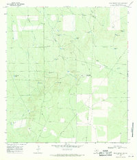
1968 · Mills Bennett SW
USGS Topo · 1:24,000

1968 · Mills Bennett
USGS Topo · 1:24,000

1968 · Mills Bennett NW
USGS Topo · 1:24,000

1968 · San Pablo
USGS Topo · 1:24,000
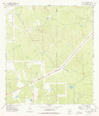
1974 · Biel Lake SE
USGS Topo · 1:24,000
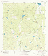
1974 · Biel Lake South
USGS Topo · 1:24,000