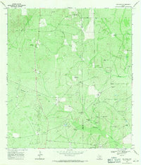
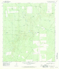
1968 Map of San Pablo
USGS Topo · Published 1971About this map
San Pablo sits at the northern edge of this South Texas landscape, where the brush country of Webb and Duval Counties meets a specialized landscape of cattle ranching and energy extraction. The map reveals a sophisticated network of resource management centered on the West Cole Field, where numerous Oil Wells and Gas Wells are interwoven with family-named windmills that were vital for sustaining livestock. The terrain is defined by the ephemeral drainages of Macho Creek and Santonino Creek, which feed localized water catchments like the Upper Field Tank and Presa Seca Tank. For those tracing local history, the Loma Blanca Cem and the Dimm Ranch provide anchors of settlement amidst a vast grid of industrial pipelines and gravel pits. This survey captures a moment when traditional ranching infrastructure, represented by the Pila Grande Windmill and Muerto Windmill, operated in tandem with the mid-century expansion of the Texas oil industry.
Find a feature on this map
32 named features on this map. Tap any name to fly to it.
Don’t see what you’re looking for? This feature index may not catch every label — zoom into the map to look around manually.
Map Details
Editions of this 1968 San Pablo Map
2 editions found

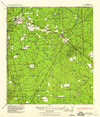
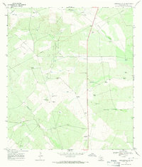
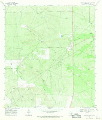
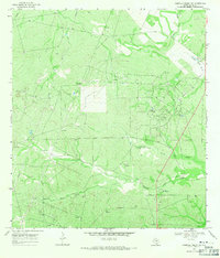
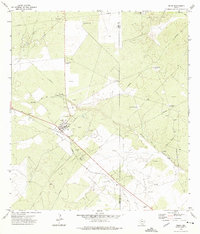
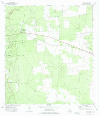
Other maps of this area
1939 · Bruni
USGS Topo · 1:62,500

1956 · Laredo
USGS Topo · 1:250,000
1967 · Hebbronville NW
USGS Topo · 1:24,000
1968 · Parrilla Creek SW
USGS Topo · 1:24,000
1968 · Mills Bennett SW
USGS Topo · 1:24,000

1968 · Mills Bennett
USGS Topo · 1:24,000
1968 · Parrilla Creek NW
USGS Topo · 1:24,000

1968 · Mills Bennett NW
USGS Topo · 1:24,000
1972 · Bruni
USGS Topo · 1:24,000
1972 · Oilton
USGS Topo · 1:24,000