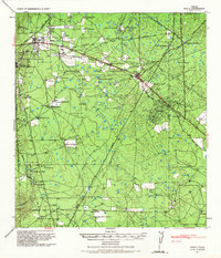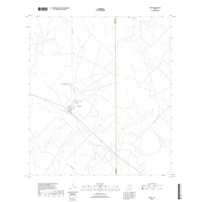
1972 Map of Bruni
USGS Topo · Published 1975About this map
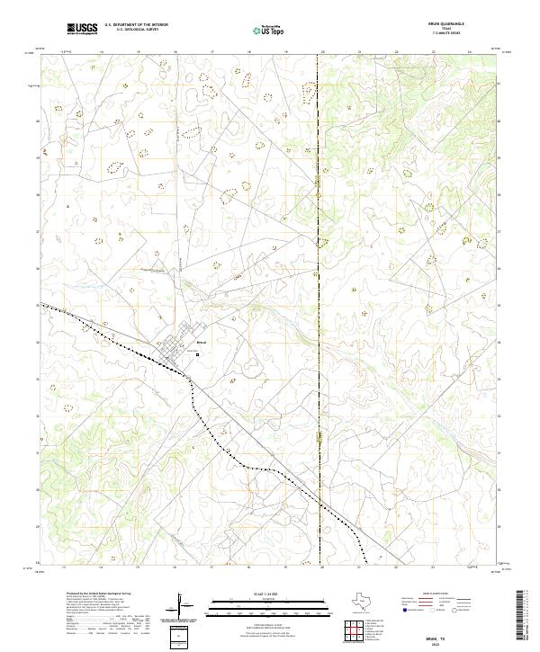
The settlement of Bruni serves as a central hub in South Texas, situated at the intersection of energy production and transportation during the early 1970s. The landscape is defined by a dense concentration of petroleum extraction, with the West Cole Oil Field, Cole Oil Field, and O'Hern Oil Field dominating the surrounding terrain. This industrial footprint is balanced by a scattered network of family or ranch-named landmarks, such as El Norte Windmill, Encinos Windmill, and El Medio Windmill, indicating the deep-rooted ranching history that persists alongside the oil derricks. The Texas Mexican railroad cuts through the territory, running parallel to a Landing Strip, while civic life is anchored by a local Cem, an Athletic Field, and a Roadside Park. The crossing of the Webb Co Duval Co line highlights the regional connectivity of this rural sector.
Find a feature on this map
27 named features on this map. Tap any name to fly to it.
Don’t see what you’re looking for? This feature index may not catch every label — zoom into the map to look around manually.
Map Details
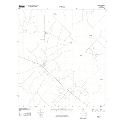
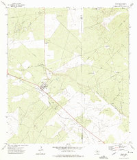
Editions of this 1972 Bruni Map
This is the sole edition of this map. No revisions or reprints were ever made.
Historical Maps of Bruni Through Time
7 maps found