
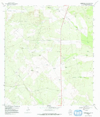
1967 Map of Hebbronville NW
USGS Topo · Published 1971About this map
The arid ranchlands of Duval County are defined by a network of ephemeral watercourses and vital groundwater access points in this late-1960s survey. Named cattle operations such as Trevino Ranch and Barronena Ranch anchor a landscape where survival depends on the strategic placement of windmills. The map reveals an extensive system of these water pumps, many bearing family or descriptive names like the Cardenas Windmill, Lloron Windmill, and the Agua Negra Windmill.
Find a feature on this map
31 named features on this map. Tap any name to fly to it.
Don’t see what you’re looking for? This feature index may not catch every label — zoom into the map to look around manually.
Map Details
Editions of this 1967 Hebbronville NW Map
2 editions found
Other maps of this area

1939 · Bruni
USGS Topo · 1:62,500

1956 · Laredo
USGS Topo · 1:250,000

1967 · Hebbronville SE
USGS Topo · 1:24,000

1967 · Parrilla Creek SE
USGS Topo · 1:24,000

1967 · Realitos
USGS Topo · 1:24,000

1967 · Hebbronville
USGS Topo · 1:24,000

1968 · Parrilla Creek SW
USGS Topo · 1:24,000

1968 · San Pablo
USGS Topo · 1:24,000

1972 · Bruni SE
USGS Topo · 1:24,000
1972 · Bruni
USGS Topo · 1:24,000