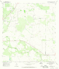
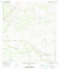
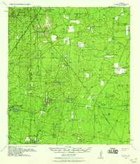
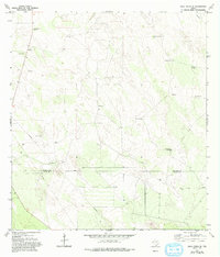
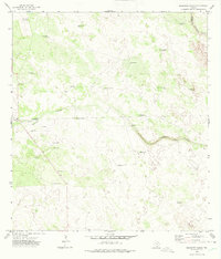
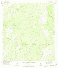
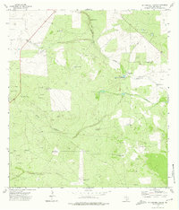
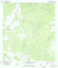
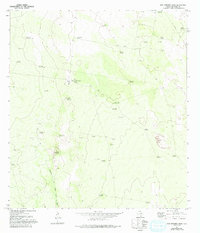
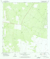
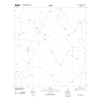
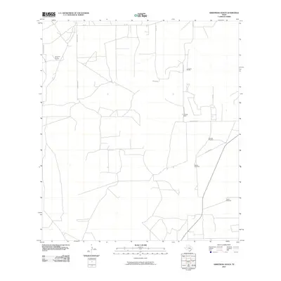
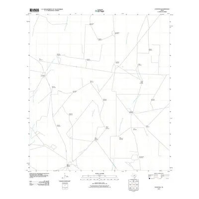
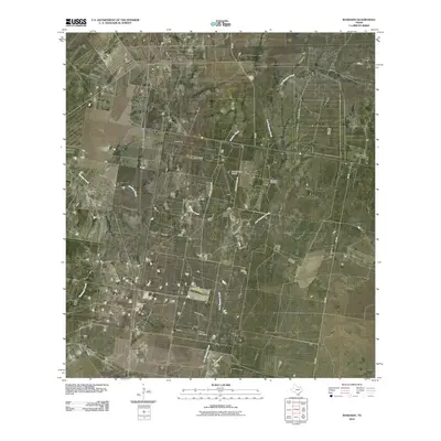
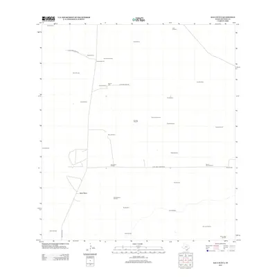
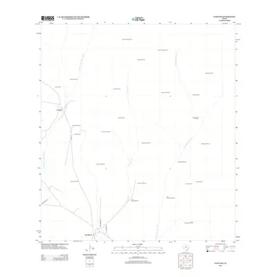
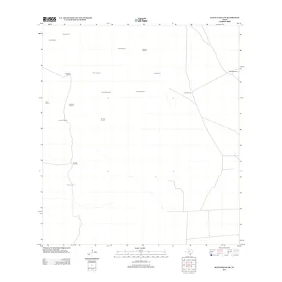
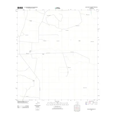
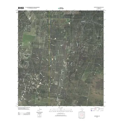
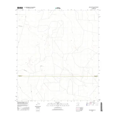
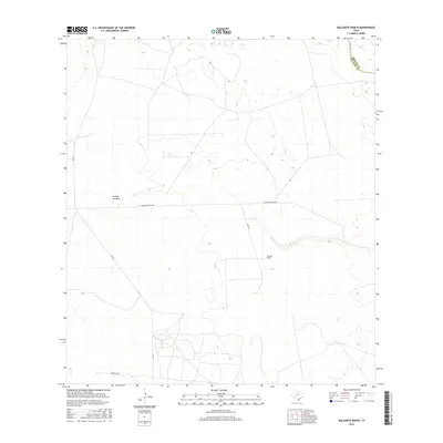
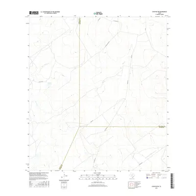
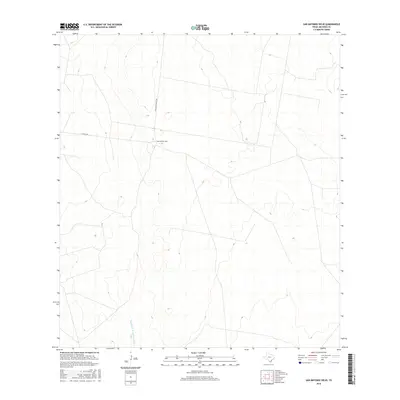
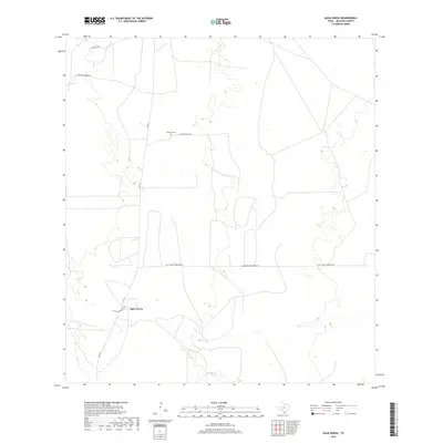
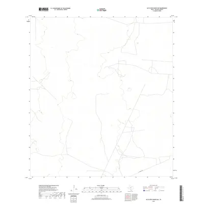
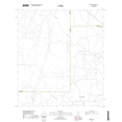
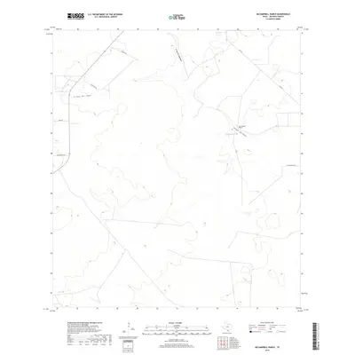
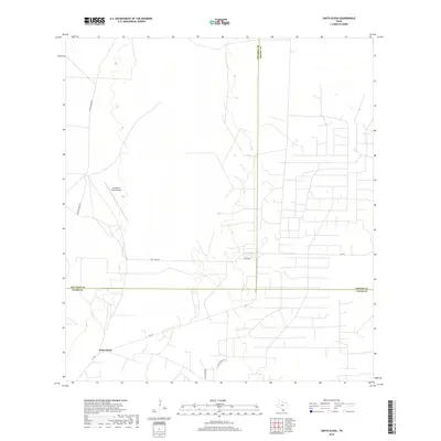
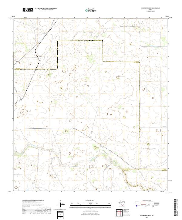
1967 Map of Hebbronville SE
USGS Topo · Published 1971About this map
The Texas Mexican railroad cuts through this South Texas landscape, marking a vital transit corridor through the brush country of the late 1960s. This survey of the Hebbronville SE quadrangle reveals a terrain defined by ranching and resource extraction, where the scarcity of surface water is answered by an extensive network of named windmills and wells. Family and place names are preserved in landmarks such as Gutierrez Windmill, Sube Vaja Windmill, and Rancho Viejo Windmill.
Find a feature on this map
33 named features on this map. Tap any name to fly to it.
Don’t see what you’re looking for? This feature index may not catch every label — zoom into the map to look around manually.
Map Details
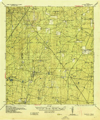
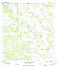
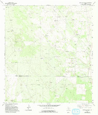
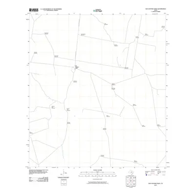
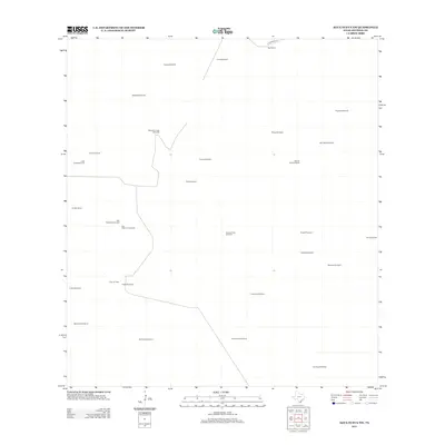
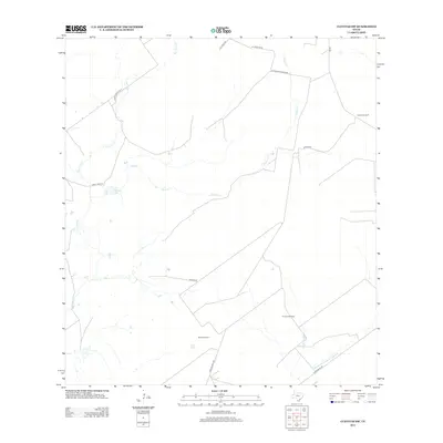
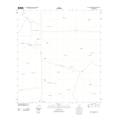
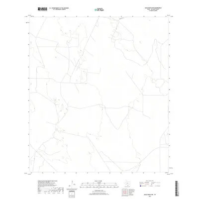
Editions of this 1967 Hebbronville SE Map
2 editions found
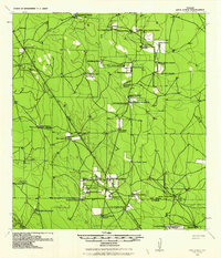
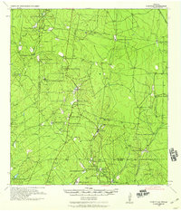
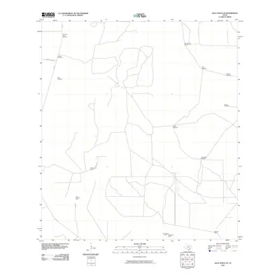
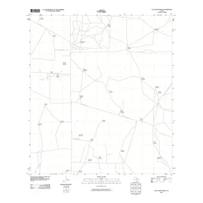
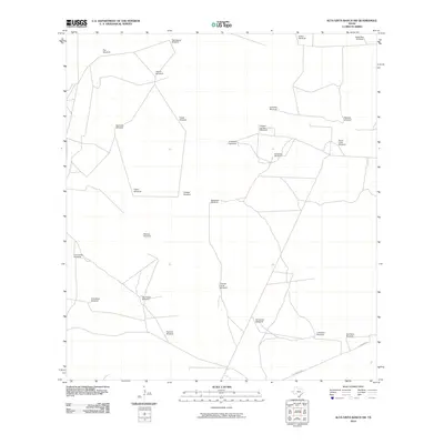
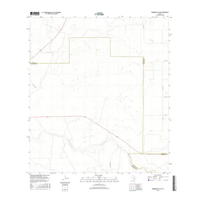
Historical Maps of Brooks County Through Time
112 maps found
1938 Agua Nueva
Jim Hogg County, TX
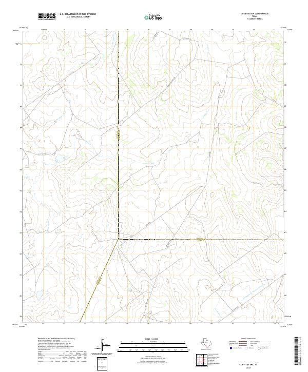
1938 Cuevitas
Jim Hogg County, TX
1939 Randado
Jim Hogg County, TX
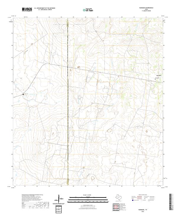
1940 Randado
Jim Hogg County, TX
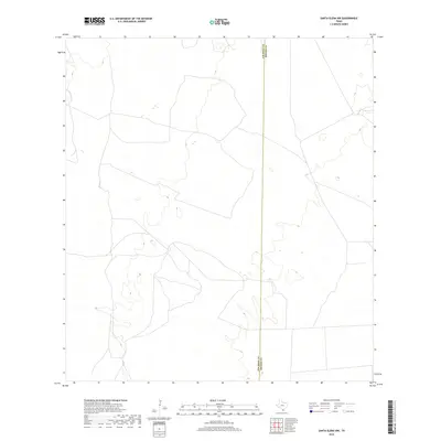
1967 Hebbronville SE
Jim Hogg County, TX
1972 Agua Nueva
Jim Hogg County, TX
1972 Agua Nueva NW
Jim Hogg County, TX
1972 Agua Nueva SE
Jim Hogg County, TX
1972 Alta Vista Ranch
Jim Hogg County, TX
1972 Alta Vista Ranch SW
Jim Hogg County, TX
1972 Armstrong Ranch
Jim Hogg County, TX
1972 Baluarte Ranch
Jim Hogg County, TX
1972 Borregos Ranch
Jim Hogg County, TX
1972 Bruni SE
Jim Hogg County, TX
1972 Cuevitas
Jim Hogg County, TX
1972 Cuevitas SW
Jim Hogg County, TX
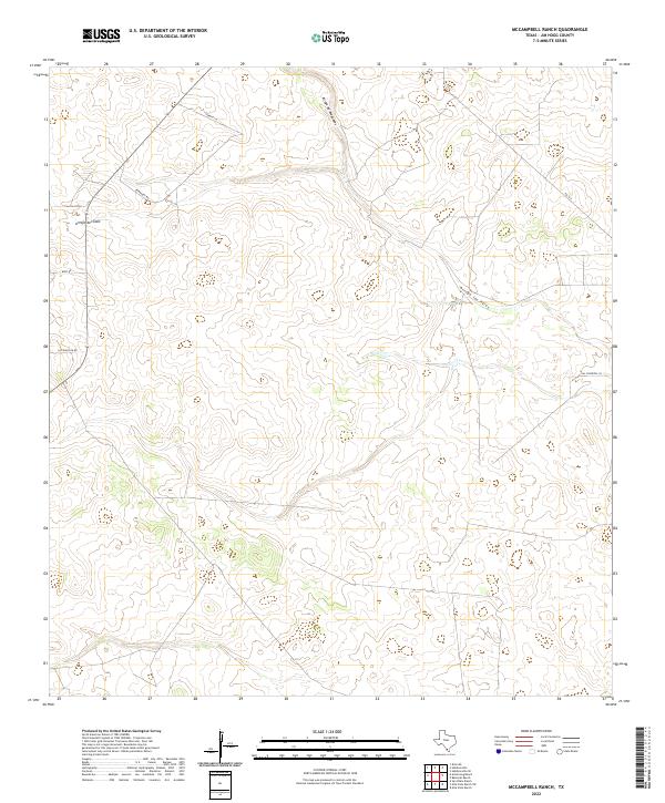
1972 McCampbell Ranch
Jim Hogg County, TX
1972 Randado
Jim Hogg County, TX
1972 San Antonio Viejo
Jim Hogg County, TX
1972 San Pablo Ranch
Jim Hogg County, TX
1972 Santa Elena
Jim Hogg County, TX
1972 Santa Elena NW
Jim Hogg County, TX
2010 Agua Nueva
Jim Hogg County, TX
2010 Agua Nueva NW
Jim Hogg County, TX
2010 Agua Nueva SE
Jim Hogg County, TX
2010 Alta Vista Ranch
Jim Hogg County, TX
2010 Alta Vista Ranch SW
Jim Hogg County, TX
2010 Armstrong Ranch
Jim Hogg County, TX
2010 Baluarte Ranch
Jim Hogg County, TX
2010 Borregos Ranch
Jim Hogg County, TX
2010 Bruni SE
Jim Hogg County, TX
2010 Cuevitas
Jim Hogg County, TX
2010 Cuevitas SW
Jim Hogg County, TX
2010 Hebbronville SE
Jim Hogg County, TX
2010 McCampbell Ranch
Jim Hogg County, TX
2010 Randado
Jim Hogg County, TX
2010 San Antonio Viejo
Jim Hogg County, TX
2010 San Pablo Ranch
Jim Hogg County, TX

2010 Santa Elena
Jim Hogg County, TX
2010 Santa Elena NW
Jim Hogg County, TX
2012 Agua Nueva
Jim Hogg County, TX
2012 Agua Nueva NW
Jim Hogg County, TX
2012 Agua Nueva SE
Jim Hogg County, TX
2012 Borregos Ranch
Jim Hogg County, TX
2012 Cuevitas
Jim Hogg County, TX
2012 Cuevitas SW
Jim Hogg County, TX
2012 San Antonio Viejo
Jim Hogg County, TX
2012 Santa Elena
Jim Hogg County, TX
2012 Santa Elena NW
Jim Hogg County, TX
2013 Alta Vista Ranch
Jim Hogg County, TX
2013 Alta Vista Ranch SW
Jim Hogg County, TX
2013 Armstrong Ranch
Jim Hogg County, TX
2013 Baluarte Ranch
Jim Hogg County, TX
2013 Bruni SE
Jim Hogg County, TX
2013 Hebbronville SE
Jim Hogg County, TX
2013 McCampbell Ranch
Jim Hogg County, TX
2013 Randado
Jim Hogg County, TX
2013 San Pablo Ranch
Jim Hogg County, TX
2016 Agua Nueva
Jim Hogg County, TX
2016 Agua Nueva NW
Jim Hogg County, TX
2016 Agua Nueva SE
Jim Hogg County, TX
2016 Alta Vista Ranch
Jim Hogg County, TX
2016 Alta Vista Ranch SW
Jim Hogg County, TX
2016 Armstrong Ranch
Jim Hogg County, TX
2016 Baluarte Ranch
Jim Hogg County, TX
2016 Borregos Ranch
Jim Hogg County, TX
2016 Bruni SE
Jim Hogg County, TX
2016 Cuevitas
Jim Hogg County, TX
2016 Cuevitas SW
Jim Hogg County, TX
2016 Hebbronville SE
Jim Hogg County, TX
2016 McCampbell Ranch
Jim Hogg County, TX
2016 Randado
Jim Hogg County, TX
2016 San Antonio Viejo
Jim Hogg County, TX
2016 San Pablo Ranch
Jim Hogg County, TX
2016 Santa Elena
Jim Hogg County, TX
2016 Santa Elena NW
Jim Hogg County, TX
2019 Agua Nueva
Jim Hogg County, TX
2019 Agua Nueva NW
Jim Hogg County, TX
2019 Agua Nueva SE
Jim Hogg County, TX
2019 Alta Vista Ranch
Jim Hogg County, TX
2019 Alta Vista Ranch SW
Jim Hogg County, TX
2019 Armstrong Ranch
Jim Hogg County, TX
2019 Baluarte Ranch
Jim Hogg County, TX
2019 Borregos Ranch
Jim Hogg County, TX
2019 Bruni SE
Jim Hogg County, TX
2019 Cuevitas
Jim Hogg County, TX
2019 Cuevitas SW
Jim Hogg County, TX
2019 Hebbronville SE
Jim Hogg County, TX
2019 McCampbell Ranch
Jim Hogg County, TX
2019 Randado
Jim Hogg County, TX
2019 San Antonio Viejo
Jim Hogg County, TX
2019 San Pablo Ranch
Jim Hogg County, TX
2019 Santa Elena
Jim Hogg County, TX
2019 Santa Elena NW
Jim Hogg County, TX
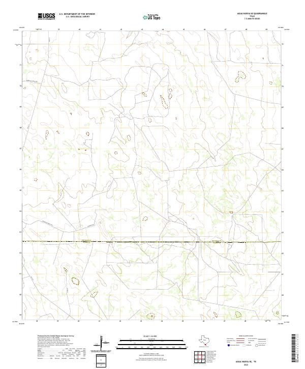
2022 Agua Nueva
Jim Hogg County, TX
2022 Agua Nueva NW
Jim Hogg County, TX
2022 Agua Nueva SE
Jim Hogg County, TX
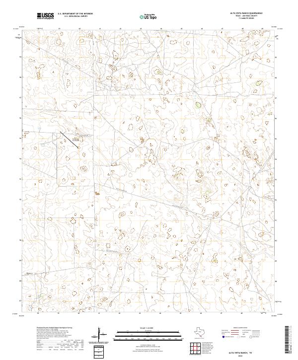
2022 Alta Vista Ranch
Jim Hogg County, TX
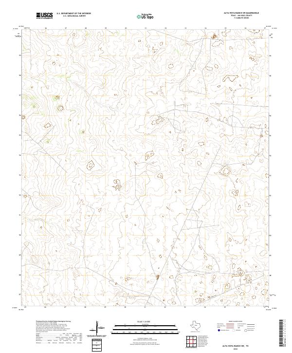
2022 Alta Vista Ranch SW
Jim Hogg County, TX
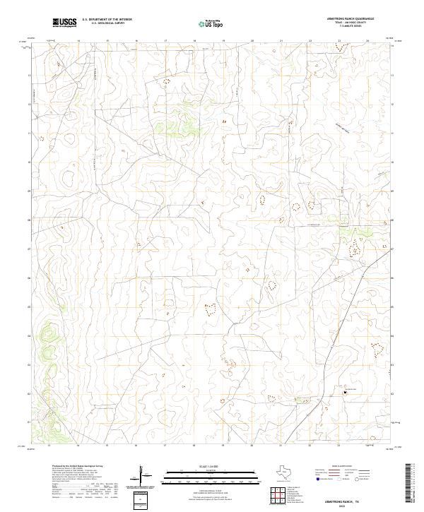
2022 Armstrong Ranch
Jim Hogg County, TX
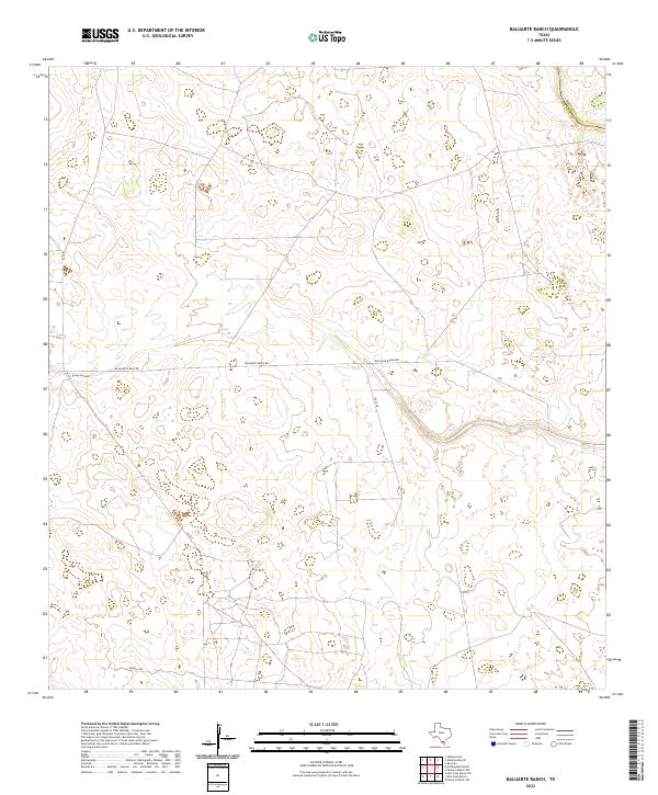
2022 Baluarte Ranch
Jim Hogg County, TX
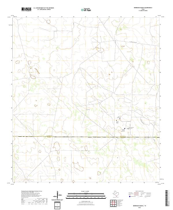
2022 Borregos Ranch
Jim Hogg County, TX
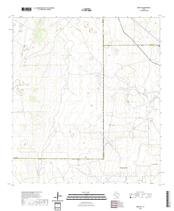
2022 Bruni SE
Jim Hogg County, TX
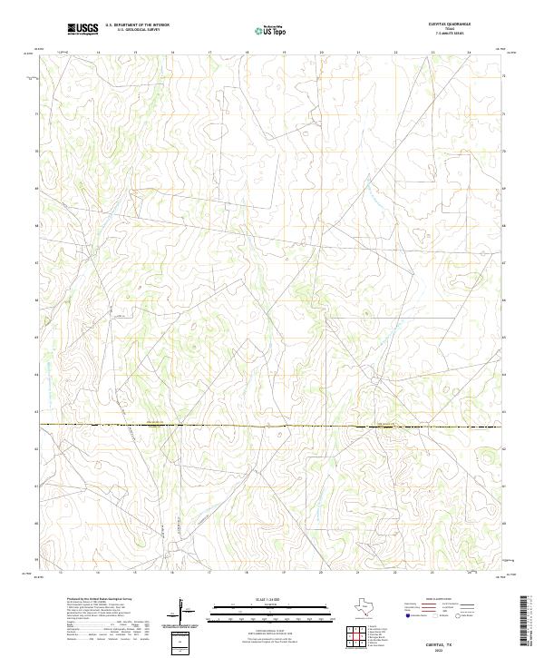
2022 Cuevitas
Jim Hogg County, TX
2022 Cuevitas SW
Jim Hogg County, TX
2022 Hebbronville SE
Jim Hogg County, TX
2022 McCampbell Ranch
Jim Hogg County, TX
2022 Randado
Jim Hogg County, TX
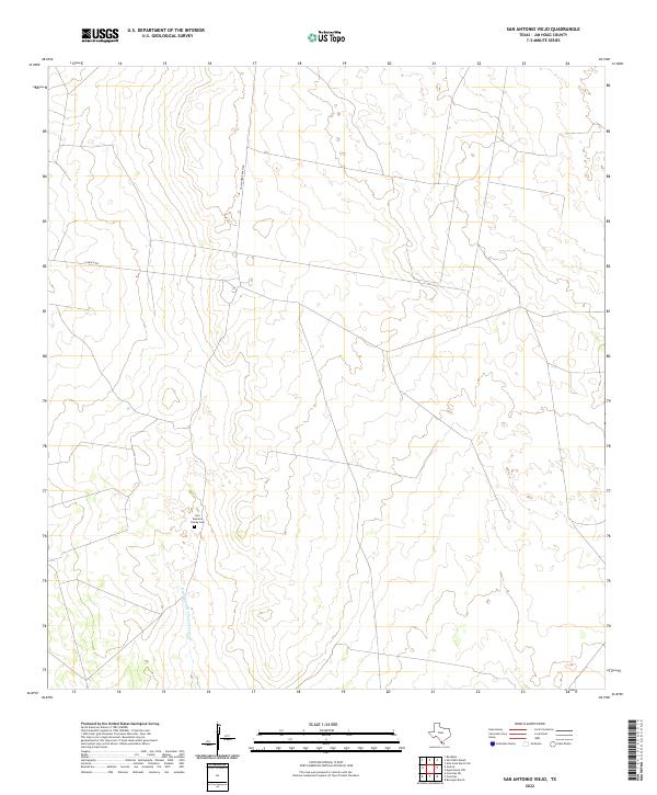
2022 San Antonio Viejo
Jim Hogg County, TX
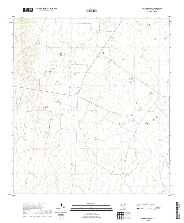
2022 San Pablo Ranch
Jim Hogg County, TX
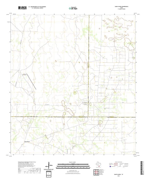
2022 Santa Elena
Jim Hogg County, TX
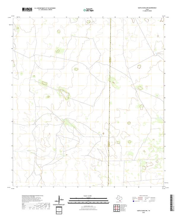
2022 Santa Elena NW
Jim Hogg County, TX