
1968 Map of Concepcion NW
USGS Topo · Published 1971About this map
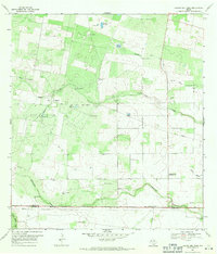
Longhorn Field defines the industrial landscape of this Duval County quadrangle, where petroleum extraction and ranching intersect. Numerous Oil Wells, Gas Well sites, and a Flowing Well are scattered across the brushy terrain, connected by a network of unimproved roads and fine red-dashed fence lines. The hydrological pattern is dominated by the meandering paths of Los Olmos Creek and Macho Creek, which cut southeast across the landscape toward the Vicinity Cem.
Find a feature on this map
16 named features on this map. Tap any name to fly to it.
Don’t see what you’re looking for? This feature index may not catch every label — zoom into the map to look around manually.
Map Details
Editions of this 1968 Concepcion NW Map
This is the sole edition of this map. No revisions or reprints were ever made.
Other maps of this area

1921 · Falfurrias
USGS Topo · 1:125,000

1956 · Benavides
USGS Topo · 1:62,500

1956 · Laredo
USGS Topo · 1:250,000

1967 · Hebbronville SE
USGS Topo · 1:24,000

1967 · Parrilla Creek SE
USGS Topo · 1:24,000

1967 · Realitos
USGS Topo · 1:24,000

1968 · Concepcion
USGS Topo · 1:24,000

1968 · San Jose
USGS Topo · 1:24,000

1968 · Benavides
USGS Topo · 1:24,000
1969 · Laguna Del Toro
USGS Topo · 1:24,000