
1968 Map of San Jose
USGS Topo · Published 1971About this map
Family-named burial grounds and sprawling ranch lands define this portion of Duval County during the late 1960s. The settlement of San Jose serves as a central point, surrounded by numerous small family cemeteries such as Hinojosa Cem, Casas Cem, and Ramirez Cem, which offer significant value for genealogical research in this South Texas region. The landscape is deeply influenced by the petroleum industry, evidenced by an extensive Oil Field in the south and various Gas Wells and pipelines cutting across the brush country.
Find a feature on this map
20 named features on this map. Tap any name to fly to it.
Don’t see what you’re looking for? This feature index may not catch every label — zoom into the map to look around manually.
Map Details
Editions of this 1968 San Jose Map
This is the sole edition of this map. No revisions or reprints were ever made.
Other maps of this area

1917 · Ben Bolt
USGS Topo · 1:62,500

1921 · Falfurrias
USGS Topo · 1:125,000

1956 · Benavides
USGS Topo · 1:62,500

1956 · Laredo
USGS Topo · 1:250,000

1963 · Ben Bolt NW
USGS Topo · 1:24,000
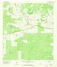
1963 · Palito Blanco
USGS Topo · 1:24,000
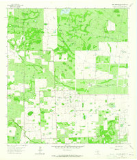
1963 · Seeligson Ranch
USGS Topo · 1:24,000

1968 · Concepcion
USGS Topo · 1:24,000

1968 · Benavides NW
USGS Topo · 1:24,000

1968 · Benavides
USGS Topo · 1:24,000