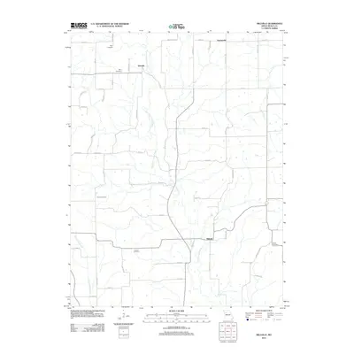
2012 Map of Millville
USGS Topo · Published 2012About this map
The East Fork Crooked River carves a winding path through this portion of Ray County, Missouri, anchoring a landscape of small agricultural settlements and family-named landmarks. The village of Millville sits near the river's bend in the south-central portion of the map, while Taitsville and Georgeville define the northern reaches. The rural road network, which includes routes like Rattlesnake Rd and Horn Hill Rd, connects a series of small, scattered burial grounds that provide significant genealogical data for the region. These sites, including Petty Cemetery, Silar Cemetery, Kincaid Cemetery, Gorham Cemetery, and Smith Cemetery, indicate decades of family settlement patterns along the river valley and its tributaries like Mud Creek and Cottonwood Branch. The map illustrates the persistent rural character of the area, where land use remains closely tied to the natural drainage systems of the Crooked River basin.
Find a feature on this map
49 named features on this map. Tap any name to fly to it.
Don’t see what you’re looking for? This feature index may not catch every label — zoom into the map to look around manually.
Map Details
Editions of this 2012 Millville Map
This is the sole edition of this map. No revisions or reprints were ever made.
Other maps of this area

1889 · Lexington
USGS Topo · 1:125,000

1894 · Independence
USGS Topo · 1:125,000

1924 · Polo
USGS Topo · 1:62,500

1924 · Braymer
USGS Topo · 1:62,500

1950 · Kansas City
USGS Topo · 1:250,000

1953 · Moberly
USGS Topo · 1:250,000

1954 · Kansas City
USGS Topo · 1:250,000

1954 · Moberly
USGS Topo · 1:250,000

1956 · Kansas City
USGS Topo · 1:250,000

1957 · Moberly
USGS Topo · 1:250,000