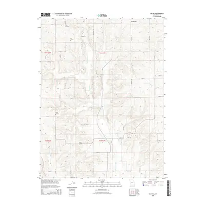
2015 Map of Millville
USGS Topo · Published 2015About this map
The E Fork Crooked River meanders south through this Ray County landscape, shaping the development of rural clusters such as Millville and Taitsville. This mid-2010s survey illustrates a land primarily defined by its agricultural grid and watercourses, including Wakenda Cr and Cottonwood Br. The area is characterized by a high concentration of family and community burial grounds, which serve as vital landmarks for local history. Notable sites include Petty Cemetery in the north and Smith Cemetery to the southeast. The topographical relief is punctuated by Horn Hill, providing a distinct break in the township and range sections. A dense network of local routes like Rattlesnake Rd and Georgeville Rd connect these outlying settlements to the larger regional thoroughfare of Mo-V.
Find a feature on this map
85 named features on this map. Tap any name to fly to it.
Don’t see what you’re looking for? This feature index may not catch every label — zoom into the map to look around manually.
Map Details
Editions of this 2015 Millville Map
This is the sole edition of this map. No revisions or reprints were ever made.
Other maps of this area

1889 · Lexington
USGS Topo · 1:125,000

1894 · Independence
USGS Topo · 1:125,000

1924 · Polo
USGS Topo · 1:62,500

1924 · Braymer
USGS Topo · 1:62,500

1950 · Kansas City
USGS Topo · 1:250,000

1953 · Moberly
USGS Topo · 1:250,000

1954 · Kansas City
USGS Topo · 1:250,000

1954 · Moberly
USGS Topo · 1:250,000

1956 · Kansas City
USGS Topo · 1:250,000

1957 · Moberly
USGS Topo · 1:250,000