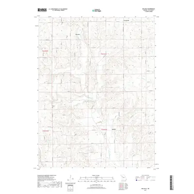
2017 Map of Millville
USGS Topo · Published 2017About this map
Millville and the surrounding Ray County countryside are defined by the winding course of the E Fork Crooked River and its numerous tributaries. This agricultural landscape is dotted with small settlements like Taitsville and Georgeville, connected by a network of rural routes including State HWY B and Bucksnort RD. For genealogists, the map is a significant resource, documenting several family and local burial grounds such as Petty Cem, Silär Cem, Kincaid Cem, Gorham Cem, and Smith Cem. The terrain is shaped by the drainage patterns of Wakenda Cr and Cottonwood Br, which have carved the hillsides into a series of ridges and hollows. The settlement pattern remains largely dispersed, following the section lines of the Public Land Survey System across the townships of T54N and T53N.
Find a feature on this map
55 named features on this map. Tap any name to fly to it.
Don’t see what you’re looking for? This feature index may not catch every label — zoom into the map to look around manually.
Map Details
Editions of this 2017 Millville Map
This is the sole edition of this map. No revisions or reprints were ever made.
Other maps of this area

1889 · Lexington
USGS Topo · 1:125,000

1894 · Independence
USGS Topo · 1:125,000

1924 · Polo
USGS Topo · 1:62,500

1924 · Braymer
USGS Topo · 1:62,500

1950 · Kansas City
USGS Topo · 1:250,000

1953 · Moberly
USGS Topo · 1:250,000

1954 · Kansas City
USGS Topo · 1:250,000

1954 · Moberly
USGS Topo · 1:250,000

1956 · Kansas City
USGS Topo · 1:250,000

1957 · Moberly
USGS Topo · 1:250,000