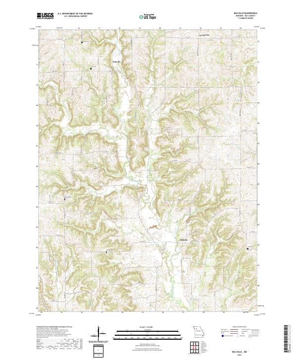
2021 Map of Millville
USGS Topo · Published 2021About this map
Millville and the winding course of the E Fork Crooked River anchor this portion of northern Ray County, where agricultural life is shaped by a dense network of country roads and creek drainages. The landscape is characterized by its numerous small burial grounds, often associated with early settlement families, including Silar Cem near Taitsville and Gorham Cem further south. These sites, along with Petty Cem and Kincaid Cem, serve as important markers of local genealogy in a region defined by its rural intersections.
Find a feature on this map
52 named features on this map. Tap any name to fly to it.
Don’t see what you’re looking for? This feature index may not catch every label — zoom into the map to look around manually.
Map Details
Editions of this 2021 Millville Map
This is the sole edition of this map. No revisions or reprints were ever made.
Other maps of this area

1889 · Lexington
USGS Topo · 1:125,000

1894 · Independence
USGS Topo · 1:125,000

1924 · Polo
USGS Topo · 1:62,500

1924 · Braymer
USGS Topo · 1:62,500

1950 · Kansas City
USGS Topo · 1:250,000

1953 · Moberly
USGS Topo · 1:250,000

1954 · Kansas City
USGS Topo · 1:250,000

1954 · Moberly
USGS Topo · 1:250,000

1956 · Kansas City
USGS Topo · 1:250,000

1957 · Moberly
USGS Topo · 1:250,000