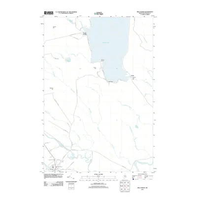
2011 Map of Milo North
USGS Topo · Published 2011About this map
The Pleasant River and Sebec River converge at the settlement of Milo, a central hub in this part of Piscataquis County. This 2011 survey illustrates the town's layout, showing the Milo Post Office, Milo Dam, and the expansive Evergreen Cemetery along the southern edge. To the north, the landscape is dominated by the massive reach of Schoodic Lake, where small communities like Knights Landing and Lake View sit along the western and southern shores. The hydraulic infrastructure of the era is evident at the Schoodic Lake Dam near Adams, which controls the outflow into Schoodic Stream. This map detail captures the intersection of residential life and the water-dependent industries that have historically shaped this region of Maine.
Find a feature on this map
48 named features on this map. Tap any name to fly to it.
Don’t see what you’re looking for? This feature index may not catch every label — zoom into the map to look around manually.
Map Details
Editions of this 2011 Milo North Map
This is the sole edition of this map. No revisions or reprints were ever made.
Other maps of this area

1932 · Dover-Foxcroft
USGS Topo · 1:48,000

1933 · Boyd Lake
USGS Topo · 1:62,500

1935 · Dover-Foxcroft
USGS Topo · 1:62,500

1940 · Sebec
USGS Topo · 1:48,000

1943 · Sebec
USGS Topo · 1:62,500

1947 · Schoodic
USGS Topo · 1:62,500

1949 · Schoodic
USGS Topo · 1:62,500

1951 · Boyd Lake
USGS Topo · 1:50,000

1954 · Millinocket
USGS Topo · 1:250,000

1955 · Boyd Lake
USGS Topo · 1:62,500