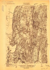
1913 Map of Milton
USGS Topo · Published 1913About this map
Miltonborough and the surrounding rural townships of Chittenden County appear in high detail during this pre-war survey. The landscape is defined by the winding course of the Winooski River and the intricate shoreline of Malletts Bay along Lake Champlain. A network of numbered schoolhouses, such as School No 7 and School No 11, points to a highly organized rural community structure typical of early 20th-century Vermont.
Find a feature on this map
52 named features on this map. Tap any name to fly to it.
Don’t see what you’re looking for? This feature index may not catch every label — zoom into the map to look around manually.
Map Details
Editions of this 1913 Milton Map
This is the sole edition of this map. No revisions or reprints were ever made.
Other maps of this area
1894 · Plattsburg
USGS Topo · 1:62,500
1895 · Rouse Point
USGS Topo · 1:62,500
1895 · Willsboro
USGS Topo · 1:62,500
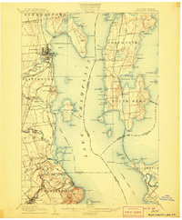
1906 · Plattsburg
USGS Topo · 1:62,500
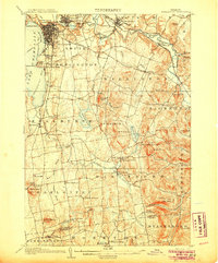
1906 · Burlington
USGS Topo · 1:62,500
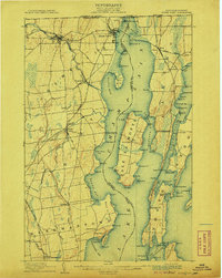
1907 · Rouse Point
USGS Topo · 1:62,500
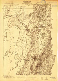
1914 · St. Albans
USGS Topo · 1:48,000
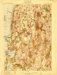
1915 · Milton
USGS Topo · 1:62,500
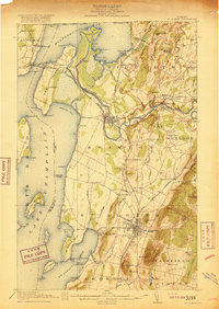
1916 · St. Albans
USGS Topo · 1:62,500
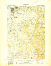
1919 · Burlington
USGS Topo · 1:62,500