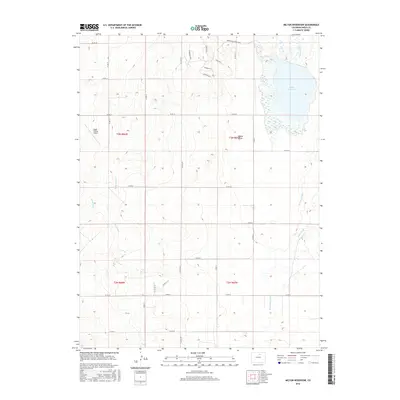
2016 Map of Milton Reservoir
USGS Topo · Published 2016About this map
Milton Reservoir dominates the northeastern landscape of this Weld County quadrangle, serving as a primary water source for an intricate network of irrigation channels. The map documents a highly managed hydrological environment where Gilmore Ditch and the Beebe Seep Canal facilitate agricultural activity across the low-lying Beebe Draw. This region is characterized by a transition from traditional rural section lines to modern residential developments, visible in the cluster of newer roads like Beebe Draw Farms Pkwy and Essex Rd N.
Find a feature on this map
37 named features on this map. Tap any name to fly to it.
Don’t see what you’re looking for? This feature index may not catch every label — zoom into the map to look around manually.
Map Details
Editions of this 2016 Milton Reservoir Map
This is the sole edition of this map. No revisions or reprints were ever made.
Other maps of this area

1902 · Greeley
USGS Topo · 1:125,000

1949 · Fort Lupton
USGS Topo · 1:24,000

1949 · Platteville
USGS Topo · 1:24,000

1949 · Hudson
USGS Topo · 1:24,000

1950 · Platteville
USGS Topo · 1:24,000
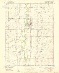
1950 · Fort Lupton
USGS Topo · 1:24,000

1950 · Keenesburg
USGS Topo · 1:24,000

1950 · Milliken
USGS Topo · 1:24,000

1950 · Klug Ranch
USGS Topo · 1:24,000

1950 · Valley View School
USGS Topo · 1:24,000