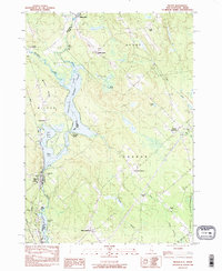
1983 Map of Milton
USGS Topo · Published 1984About this map
The Salmon Falls River and its accompanying chain of water bodies define the border between New Hampshire and Maine in this early 1980s survey. Stretching from Milton Mills in the north to the village of Milton in the south, the map illustrates a landscape of interconnected ponds including Northeast Pond, Milton Pond, and Spaulding Pond. The Boston and Maine railroad line follows the western bank of the river, serving as a primary transportation artery for the localized industrial and residential clusters.
Find a feature on this map
40 named features on this map. Tap any name to fly to it.
Don’t see what you’re looking for? This feature index may not catch every label — zoom into the map to look around manually.
Map Details
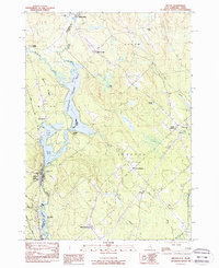
Editions of this 1983 Milton Map
2 editions found
Other maps of this area

1891 · Berwick
USGS Topo · 1:62,500

1891 · Newfield
USGS Topo · 1:62,500

1893 · Berwick
USGS Topo · 1:62,500

1893 · Newfield
USGS Topo · 1:62,500

1919 · Alton
USGS Topo · 1:62,500

1928 · Wolfeboro
USGS Topo · 1:62,500

1933 · Berwick
USGS Topo · 1:48,000

1933 · Newfield
USGS Topo · 1:48,000

1937 · Newfield
USGS Topo · 1:62,500

1937 · Berwick
USGS Topo · 1:62,500