Loading...
Loading map...2023 Map of Mineral City
USGS Topo · Published 2023About this map
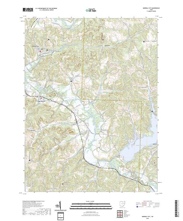
Mineral City stands at the northern edge of this landscape where Huff Run meets the Sandy Creek drainage. The village is surrounded by a dense network of country roads such as German Cemetery Rd NE and Dutchtown Rd NE, reflecting a long-established rural settlement pattern across the Tuscarawas and Carroll county line. The terrain is defined by prominent drainages like Conotton Creek and Indian Fork, which feed into the significant waters of Atwood Lake near Barrick.
Find a feature on this map
123 named features on this map. Tap any name to fly to it.
Don’t see what you’re looking for? This feature index may not catch every label — zoom into the map to look around manually.
Map Details
Date Portrayed2023
Date Published2023
PublisherU.S. Geological Survey
Map TypeTopographic
Scale1:24000
Physical Dimensions24 x 29 inches
Editions of this 2023 Mineral City Map
This is the sole edition of this map. No revisions or reprints were ever made.
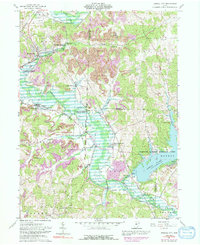
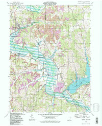
Historical Maps of Johnstown Through Time
3 maps found
Featured Locations
Source Details
SourceU.S. Geological Survey
CopyrightPublic Domain