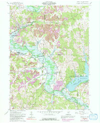
1961 Map of Mineral City
USGS Topo · Published 1991About this map
Mineral City serves as the focal point of this industrial and rural landscape where the Baltimore and Ohio and Penn Central rail lines converge along Huff Run. The map illustrates a region heavily shaped by resource extraction, with extensive Strip Mines and numerous Gas Wells dotting the terrain from Lindentree to Somerdale. These industrial markings contrast with the preservation efforts of the Muskingum Watershed Conservancy District, which manages the lands surrounding the prominent Atwood Lake.
Find a feature on this map
51 named features on this map. Tap any name to fly to it.
Don’t see what you’re looking for? This feature index may not catch every label — zoom into the map to look around manually.
Map Details
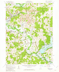
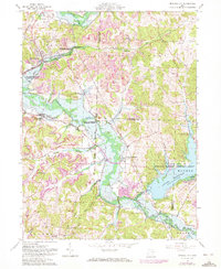
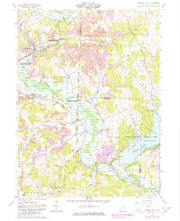
Editions of this 1961 Mineral City Map
4 editions found
Other maps of this area

1902 · Scio
USGS Topo · 1:62,500

1904 · Scio
USGS Topo · 1:62,500

1909 · Uhrichsville
USGS Topo · 1:62,500

1910 · Carrollton
USGS Topo · 1:62,500

1911 · Uhrichsville
USGS Topo · 1:62,500

1912 · Dover
USGS Topo · 1:62,500

1912 · Carrollton
USGS Topo · 1:62,500

1944 · Dover
USGS Topo · 1:62,500

1951 · Canton
USGS Topo · 1:250,000

1951 · Bolivar
USGS Topo · 1:24,000