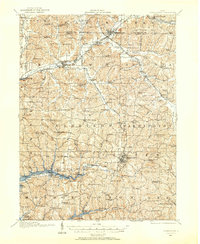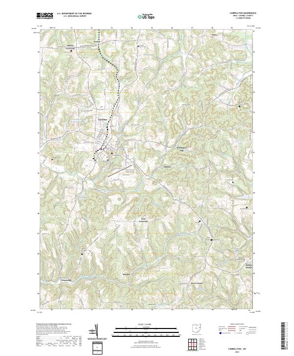
1912 Map of Carrollton
USGS Topo · Published 1943About this map
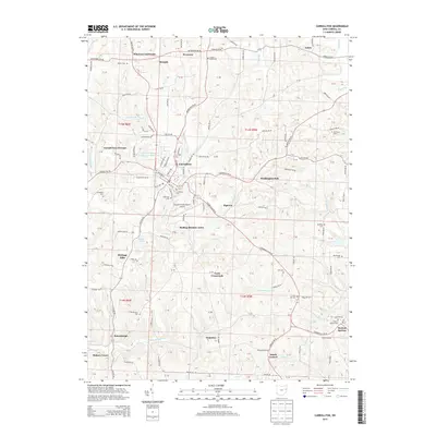
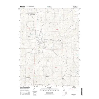
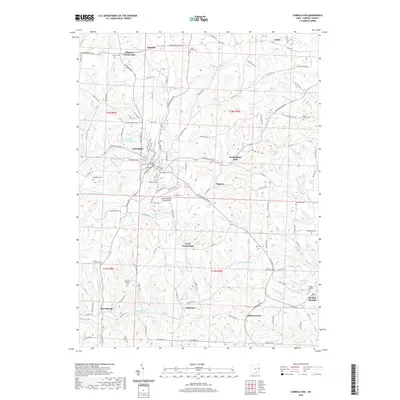
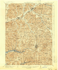
Carrollton serves as the central hub of this eastern Ohio landscape, where the Penna System and W and L E R R railroads once linked the coal-bearing hills to wider markets. The terrain is defined by the headwaters of the Tuscarawas River and Sandy Creek, which carved a complex network of ridges like Chestnut Ridge and Baxter Ridge. At the time of this survey, the region was densely settled with small rural communities and local institutions, including the County Infirmary and a remarkable number of neighborhood schoolhouses such as Mud School, Phalanx Hall School, and Washington Hall School. Large-scale water management projects are visible at Atwood Reservoir and Leesville Reservoir, while industrial activity is anchored by the rail junctions at Minerva and Oneida. This map provides a detailed view of Carroll County's early 20th-century development, from the village of Harlem Springs to the scattered churches and family-named landmarks that characterized the local social geography.
Find a feature on this map
104 named features on this map. Tap any name to fly to it.
Don’t see what you’re looking for? This feature index may not catch every label — zoom into the map to look around manually.
Map Details
Editions of this 1912 Carrollton Map
This is the sole edition of this map. No revisions or reprints were ever made.
Historical Maps of Minerva Through Time
9 maps found