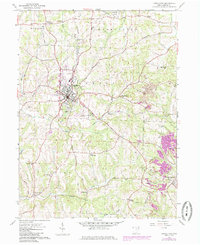
1959 Map of Carrollton
USGS Topo · Published 1985About this map
The county seat of Carrollton serves as the focal point for this eastern Ohio survey, situated at the junction of the Norfolk and Western railroad and several regional routes. The landscape reflects a mix of small-town industry and rural agricultural heritage, with the Carroll Co-Tolson Airport and nearby Fairgrounds marking the town's expansion. Surrounding the village, the terrain is dotted with small family-named settlements and crossroads like Wherrys Crossroads, Toots Crossroads, and Dutch Corners.
Find a feature on this map
58 named features on this map. Tap any name to fly to it.
Don’t see what you’re looking for? This feature index may not catch every label — zoom into the map to look around manually.
Map Details
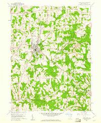
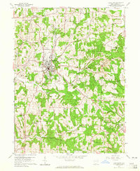
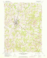
Editions of this 1959 Carrollton Map
4 editions found
Other maps of this area

1901 · Cadiz
USGS Topo · 1:62,500

1902 · Scio
USGS Topo · 1:62,500

1903 · Cadiz
USGS Topo · 1:62,500

1904 · Scio
USGS Topo · 1:62,500

1905 · Salineville
USGS Topo · 1:62,500

1910 · Carrollton
USGS Topo · 1:62,500

1912 · Carrollton
USGS Topo · 1:62,500

1951 · Canton
USGS Topo · 1:250,000

1953 · Canton
USGS Topo · 1:250,000

1957 · Canton
USGS Topo · 1:250,000