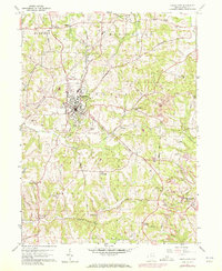
1959 Map of Carrollton
USGS Topo · Published 1972About this map
Carrollton serves as the focal point of this late 1950s survey, showing a landscape defined by industrial extraction and small rural hamlets. The Norfolk and Western Railroad cuts through the center of the township, providing a vital link for the local economy. While the village itself contains established landmarks like the Fairgrounds and Carrollton Airport, the eastern edge of the quadrangle reveals extensive strip mines, particularly around Harlem Springs, illustrating the intensive land use of the period.
Find a feature on this map
52 named features on this map. Tap any name to fly to it.
Don’t see what you’re looking for? This feature index may not catch every label — zoom into the map to look around manually.
Map Details
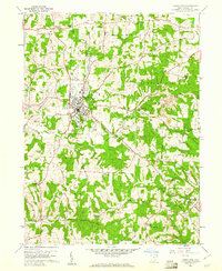
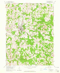
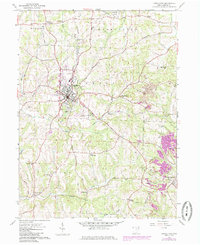
Editions of this 1959 Carrollton Map
4 editions found
Other maps of this area

1901 · Cadiz
USGS Topo · 1:62,500

1902 · Scio
USGS Topo · 1:62,500

1903 · Cadiz
USGS Topo · 1:62,500

1904 · Scio
USGS Topo · 1:62,500

1905 · Salineville
USGS Topo · 1:62,500

1910 · Carrollton
USGS Topo · 1:62,500

1912 · Carrollton
USGS Topo · 1:62,500

1951 · Canton
USGS Topo · 1:250,000

1953 · Canton
USGS Topo · 1:250,000

1957 · Canton
USGS Topo · 1:250,000