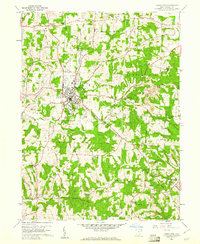
1959 Map of Carrollton
USGS Topo · Published 1961About this map
Harlem Springs and the surrounding townships of Harrison, Washington, and Lee define this late 1950s landscape in Carroll County. The New York Central and St Louis Railroad cuts through the western terrain, passing just south of Carrollton where it served the local economy near the Fairgrounds and Municipal Park. Surface mining is a visible industry on the eastern ridges, with several strip mines located near Mt Olivet Ch.
Find a feature on this map
58 named features on this map. Tap any name to fly to it.
Don’t see what you’re looking for? This feature index may not catch every label — zoom into the map to look around manually.
Map Details
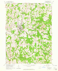
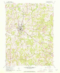
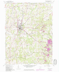
Editions of this 1959 Carrollton Map
4 editions found
Other maps of this area

1901 · Cadiz
USGS Topo · 1:62,500

1902 · Scio
USGS Topo · 1:62,500

1903 · Cadiz
USGS Topo · 1:62,500

1904 · Scio
USGS Topo · 1:62,500

1905 · Salineville
USGS Topo · 1:62,500

1910 · Carrollton
USGS Topo · 1:62,500

1912 · Carrollton
USGS Topo · 1:62,500

1951 · Canton
USGS Topo · 1:250,000

1953 · Canton
USGS Topo · 1:250,000

1957 · Canton
USGS Topo · 1:250,000