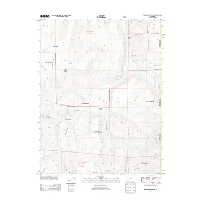
2013 Map of Mineral Mountain
USGS Topo · Published 2013About this map
Cathedral and Mineral Park anchor this high-altitude landscape in the Gunnison National Forest, showing a region defined by recreational access and rugged drainage systems. The survey documents an extensive network of trails and forest roads, including the Powderhorn Park Trl and Cebolla Trl, which navigate the complex terrain around Mineral Mountain and Fish Canyon Ridge. Water sources like Cebolla Cr and Mineral Cr carve through the landscape, feeding into named landmarks like Dry Lake.
Find a feature on this map
42 named features on this map. Tap any name to fly to it.
Don’t see what you’re looking for? This feature index may not catch every label — zoom into the map to look around manually.
Map Details
Editions of this 2013 Mineral Mountain Map
This is the sole edition of this map. No revisions or reprints were ever made.
Other maps of this area

1905 · San Cristobal
USGS Topo · 1:125,000

1907 · San Cristobal
USGS Topo · 1:125,000

1908 · Uncompahgre
USGS Topo · 1:125,000

1911 · Uncompahgre
USGS Topo · 1:125,000

1914 · Creede
USGS Topo · 1:125,000

1916 · Creede
USGS Topo · 1:125,000

1945 · Durango
USGS Topo · 1:250,000

1953 · Durango
USGS Topo · 1:250,000

1954 · Durango
USGS Topo · 1:250,000

1956 · Montrose
USGS Topo · 1:250,000