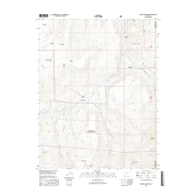
2016 Map of Mineral Mountain
USGS Topo · Published 2016About this map
Gunnison National Forest dominates this high-altitude landscape along the border of Hinsdale and Saguache counties. The topography is defined by the drainage of Cebolla Cr and its various tributaries, such as Spring Cr and Pasture Cr, which carve through the volcanic plateau. Small settlements and named locations like Cathedral and Mineral Park are situated among prominent landforms, including the high-elevation Mineral Mountain and the distinctive Fish Canyon Ridge.
Find a feature on this map
37 named features on this map. Tap any name to fly to it.
Don’t see what you’re looking for? This feature index may not catch every label — zoom into the map to look around manually.
Map Details
Editions of this 2016 Mineral Mountain Map
This is the sole edition of this map. No revisions or reprints were ever made.
Other maps of this area

1905 · San Cristobal
USGS Topo · 1:125,000

1907 · San Cristobal
USGS Topo · 1:125,000

1908 · Uncompahgre
USGS Topo · 1:125,000

1911 · Uncompahgre
USGS Topo · 1:125,000

1914 · Creede
USGS Topo · 1:125,000

1916 · Creede
USGS Topo · 1:125,000

1945 · Durango
USGS Topo · 1:250,000

1953 · Durango
USGS Topo · 1:250,000

1954 · Durango
USGS Topo · 1:250,000

1956 · Montrose
USGS Topo · 1:250,000