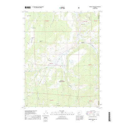
2019 Map of Mineral Mountain
USGS Topo · Published 2019About this map
Cathedral sits as a quiet settlement near the border of Hinsdale and Saguache Counties, surrounded by the high-elevation terrain of the Gunnison National Forest. This remote landscape is defined by the complex drainage systems of Cebolla Creek and Mineral Creek, which carve through features like Fish Canyon Ridge and Wood Gulch. The map reveals a land utilized for its natural resources and isolation, with names such as Robbers Roost and Monument Park hinting at the area's colorful history and geographic prominence.
Find a feature on this map
35 named features on this map. Tap any name to fly to it.
Don’t see what you’re looking for? This feature index may not catch every label — zoom into the map to look around manually.
Map Details
Editions of this 2019 Mineral Mountain Map
This is the sole edition of this map. No revisions or reprints were ever made.
Other maps of this area

1905 · San Cristobal
USGS Topo · 1:125,000

1907 · San Cristobal
USGS Topo · 1:125,000

1908 · Uncompahgre
USGS Topo · 1:125,000

1911 · Uncompahgre
USGS Topo · 1:125,000

1914 · Creede
USGS Topo · 1:125,000

1916 · Creede
USGS Topo · 1:125,000

1945 · Durango
USGS Topo · 1:250,000

1953 · Durango
USGS Topo · 1:250,000

1954 · Durango
USGS Topo · 1:250,000

1956 · Montrose
USGS Topo · 1:250,000