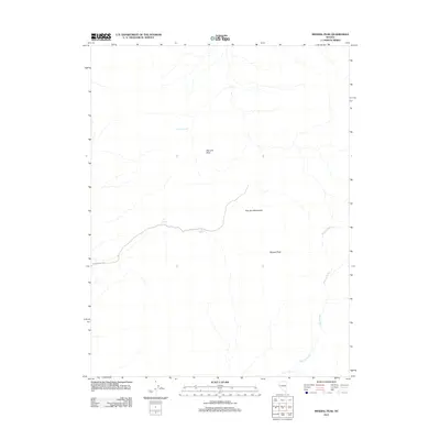
2011 Map of Mineral Peak
USGS Topo · Published 2011About this map
The Pine Nut Mountains dominate this high-desert landscape in the years before the region's most recent developments. This 2011 survey details a rugged terrain defined by prominent summits such as Bismark Peak and the namesake Mineral Peak. The distribution of water sources like Erastra Spring, Lebo Spring, and Pipe Spring reveals the critical points of hydrology for those navigating these slopes. Access to the interior is limited to a few primitive routes, most notably Sunrise Pass Rd, which winds through the western portion of the quadrangle. The vast Mineral Valley extends through the eastern side, showcasing the characteristic drainage patterns of the Nevada basin-and-range country. This data provides a clear record of the area's geography and existing infrastructure during the early 21st century.
Find a feature on this map
8 named features on this map. Tap any name to fly to it.
Don’t see what you’re looking for? This feature index may not catch every label — zoom into the map to look around manually.
Map Details
Editions of this 2011 Mineral Peak Map
This is the sole edition of this map. No revisions or reprints were ever made.
Other maps of this area

1889 · Markleeville
USGS Topo · 1:125,000

1891 · Carson
USGS Topo · 1:125,000

1891 · Markleeville
USGS Topo · 1:125,000

1891 · Wabuska
USGS Topo · 1:125,000

1891 · Wellington
USGS Topo · 1:125,000

1893 · Carson
USGS Topo · 1:125,000

1893 · Markleeville
USGS Topo · 1:125,000

1893 · Wellington
USGS Topo · 1:125,000

1894 · Wabuska
USGS Topo · 1:125,000

1948 · Walker Lake
USGS Topo · 1:250,000