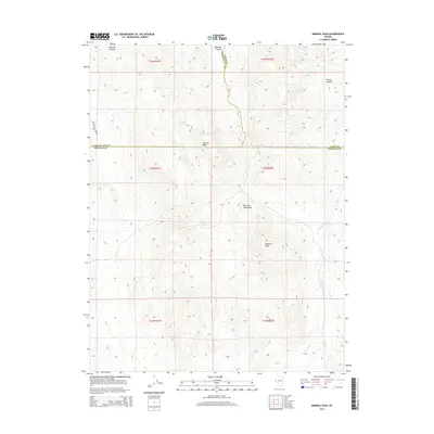
2014 Map of Mineral Peak
USGS Topo · Published 2014About this map
Pine Nut Mountains dominate this high-desert terrain where the borders of Carson City, Lyon, and Douglas counties converge. The landscape is defined by its verticality, rising toward prominent summits like Bismark Peak and Mineral Peak. This topography is cut by several steep drainage systems, including Sullivan Canyon in the north and the expansive Mineral Valley to the southeast. Remote water sources such as Erastra Spring, Pipe Spring, and Bebe Spring are critical markers across these arid slopes, highlighting the scarce but vital hydrography of the region. This 2014 survey illustrates a largely undeveloped expanse, where the only significant vehicle access is provided by Brunswick Canyon Rd on the western edge. The map captures a section of the Great Basin's character, focused on topographic detail rather than urban growth, making it an essential reference for understanding the physical geography of these Nevada mountains.
Find a feature on this map
20 named features on this map. Tap any name to fly to it.
Don’t see what you’re looking for? This feature index may not catch every label — zoom into the map to look around manually.
Map Details
Editions of this 2014 Mineral Peak Map
This is the sole edition of this map. No revisions or reprints were ever made.
Other maps of this area

1889 · Markleeville
USGS Topo · 1:125,000

1891 · Carson
USGS Topo · 1:125,000

1891 · Markleeville
USGS Topo · 1:125,000

1891 · Wabuska
USGS Topo · 1:125,000

1891 · Wellington
USGS Topo · 1:125,000

1893 · Carson
USGS Topo · 1:125,000

1893 · Markleeville
USGS Topo · 1:125,000

1893 · Wellington
USGS Topo · 1:125,000

1894 · Wabuska
USGS Topo · 1:125,000

1948 · Walker Lake
USGS Topo · 1:250,000