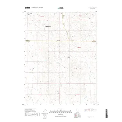
2018 Map of Mineral Peak
USGS Topo · Published 2018About this map
Mineral Peak and the high ridges of the Pine Nut Mountains dominate this high-desert landscape southeast of Carson City. The map reveals a rugged backcountry where various drainage systems, including Sullivan Canyon and Eldorado Canyon, cut through the terrain toward the surrounding valleys. A triple county junction is captured here, where the borders of Carson City, Lyon, and Douglas counties converge near Bismark Peak.
Find a feature on this map
22 named features on this map. Tap any name to fly to it.
Don’t see what you’re looking for? This feature index may not catch every label — zoom into the map to look around manually.
Map Details
Editions of this 2018 Mineral Peak Map
This is the sole edition of this map. No revisions or reprints were ever made.
Other maps of this area

1889 · Markleeville
USGS Topo · 1:125,000

1891 · Carson
USGS Topo · 1:125,000

1891 · Markleeville
USGS Topo · 1:125,000

1891 · Wabuska
USGS Topo · 1:125,000

1891 · Wellington
USGS Topo · 1:125,000

1893 · Carson
USGS Topo · 1:125,000

1893 · Markleeville
USGS Topo · 1:125,000

1893 · Wellington
USGS Topo · 1:125,000

1894 · Wabuska
USGS Topo · 1:125,000

1948 · Walker Lake
USGS Topo · 1:250,000