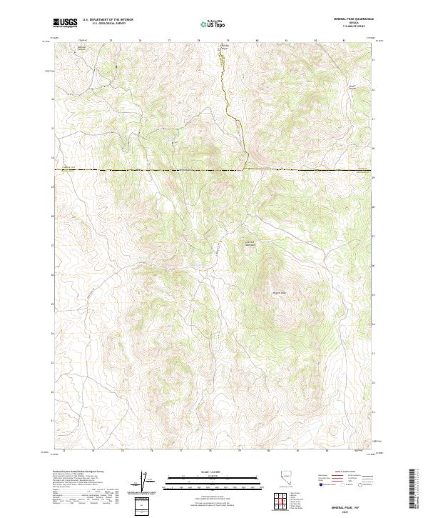
2021 Map of Mineral Peak
USGS Topo · Published 2021About this map
Pine Nut Mountains dominate this high-desert landscape in Douglas County, where the terrain reaches its apex at Mineral Peak. This 2021 survey reveals a complex network of canyons and water sources vital to the region's geography, including Eldorado Canyon to the north and the high-elevation Sullivan Canyon. The map is a critical resource for understanding the hydrography of this arid environment, documenting specific water points such as Erastra Spring, Pipe Spring, and Lebo Spring.
Find a feature on this map
19 named features on this map. Tap any name to fly to it.
Don’t see what you’re looking for? This feature index may not catch every label — zoom into the map to look around manually.
Map Details
Editions of this 2021 Mineral Peak Map
This is the sole edition of this map. No revisions or reprints were ever made.
Other maps of this area

1889 · Markleeville
USGS Topo · 1:125,000

1891 · Carson
USGS Topo · 1:125,000

1891 · Markleeville
USGS Topo · 1:125,000

1891 · Wabuska
USGS Topo · 1:125,000

1891 · Wellington
USGS Topo · 1:125,000

1893 · Carson
USGS Topo · 1:125,000

1893 · Markleeville
USGS Topo · 1:125,000

1893 · Wellington
USGS Topo · 1:125,000

1894 · Wabuska
USGS Topo · 1:125,000

1948 · Walker Lake
USGS Topo · 1:250,000